Rockhampton night lights from space
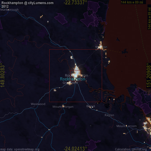
Night Light of Rockhampton (Queensland) from space (Australia) Src. Average luminocity for 10x10km area is 51.6515% and for 50x50km: 4.6177%.
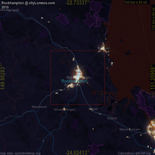
Analysis of Rockhampton night lights 2016
Square area 10x10 km:
 13.26%
90-99
13.45%80-89
7.39%70-79
3.6%60-69
2.84%50-59
3.79%40-49
5.3%30-39
4.55%20-29
19.32%10-19
25.76%0-9
0.76%Square area 50x50 km:
0.73%90-99
0.93%80-89
0.56%70-79
0.36%60-69
0.43%50-59
0.39%40-49
0.67%30-39
0.34%20-29
1.22%10-19
3.95%0-9
90.4%Clear (daylight) street map image can be seen on geolist.org.
Map coordinates:
22° 44' 0.1" South, 149° 48' 10.2" East
23° 22' 49.2" South, 150° 30' 21.4" East
24° 1' 26.9" South, 151° 12' 32.7" East
Some cities around Rockhampton sort by population:
• Yeppoon
37.2 km =23.1 mi,  40°
40°
• Gracemere
8.1 km =5 mi,  217°
217°
• Norman Gardens
6 km =3.7 mi,  21°
21°
• Frenchville
5.4 km =3.4 mi,  47°
47°
• Berserker
2.9 km =1.8 mi,  30°
30°
• Yeppoon city centre
36.5 km =22.7 mi, 40°
• The Range
1.6 km =1 mi, 217°
• Park Avenue
3.3 km =2.1 mi, 23°
2151437 (p: 61,724)
Sources (retrieved 2019-11-25):
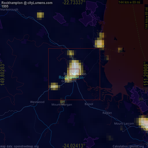
» NASA, Earths city lights 1995
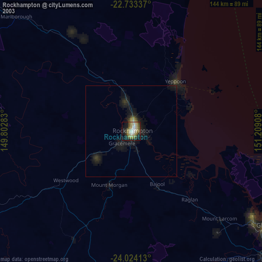
» NASA city lights 2003
» Earth at Night: Flat Maps 2012, 2016