Frenchville night lights from space
Night Light of Frenchville (Queensland) from space (Australia) Src. Average luminocity for 10x10km area is 48.964% and for 50x50km: 5.2544%.
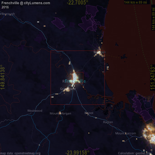
Analysis of Frenchville night lights 2016
Square area 10x10 km:
 14.02%
90-99
14.39%80-89
5.49%70-79
2.46%60-69
5.68%50-59
3.98%40-49
3.22%30-39
3.79%20-29
9.09%10-19
19.32%0-9
18.56%Square area 50x50 km:
0.82%90-99
1.03%80-89
0.63%70-79
0.42%60-69
0.49%50-59
0.55%40-49
0.76%30-39
0.42%20-29
1.4%10-19
4.28%0-9
89.19%Clear (daylight) street map image can be seen on geolist.org.
Map coordinates:
22° 42' 1.8" South, 149° 50' 29" East
23° 20' 51.4" South, 150° 32' 40.2" East
23° 59' 29.7" South, 151° 14' 51.5" East
Some cities around Frenchville sort by population:
• Rockhampton
5.4 km =3.4 mi,  227°
227°
• Yeppoon
31.9 km =19.8 mi,  39°
39°
• Gracemere
13.4 km =8.3 mi,  221°
221°
• Norman Gardens
2.6 km =1.6 mi,  317°
317°
• Berserker
2.7 km =1.7 mi,  244°
244°
• Yeppoon city centre
31.2 km =19.4 mi, 38°
• The Range
7 km =4.3 mi, 224°
• Park Avenue
2.7 km =1.7 mi,  256°
256°
8348867 (p: 8,640)
Sources (retrieved 2019-11-25):
» Earth at Night: Flat Maps 2012, 2016