South Tamworth night lights from space
Night Light of South Tamworth (New South Wales) from space (Australia) Src. Average luminocity for 10x10km area is 32.0769% and for 50x50km: 1.7523%.
Analysis of South Tamworth night lights 2016
Square area 10x10 km:
 3.66%
3.66%90-99
2.75%80-89
5.31%70-79
8.06%60-69
7.14%50-59
1.65%40-49
2.01%30-39
5.31%20-29
5.31%10-19
30.77%0-9
28.02%Square area 50x50 km:
0.17%90-99
0.12%80-89
0.22%70-79
0.47%60-69
0.29%50-59
0.12%40-49
0.12%30-39
0.3%20-29
0.24%10-19
1.77%0-9
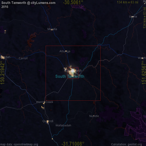
96.17%Clear (daylight) street map image can be seen on geolist.org.
Map coordinates:
30° 30' 22" South, 150° 13' 9.9" East
31° 6' 36" South, 150° 55' 21.1" East
31° 42' 36.3" South, 151° 37' 32.4" East
Some cities around South Tamworth sort by population:
• Tamworth
2.3 km =1.4 mi,  15°
15°
• Armidale
98.1 km =61 mi,  46°
46°
• Gunnedah
64.9 km =40.3 mi,  282°
282°
• Hillvue
2.4 km =1.5 mi,  216°
216°
• Scone
104.7 km =65.1 mi,  182°
182°
• North Tamworth
3.5 km =2.2 mi,  359°
359°
• East Tamworth
3.1 km =1.9 mi,  27°
27°
• West Tamworth
1.1 km =0.7 mi,  317°
317°
10114338 (p: 6,627)
Sources (retrieved 2019-11-25):
» Earth at Night: Flat Maps 2012, 2016