Scone night lights from space
Night Light of Scone (New South Wales) from space (Australia) Src. Average luminocity for 10x10km area is 4.8951% and for 50x50km: 0.7365%.
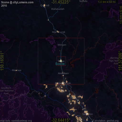
Analysis of Scone night lights 2016
Square area 10x10 km:
 0%
0%90-99
0.7%80-89
0%70-79
1.4%60-69
2.1%50-59
0.7%40-49
0.7%30-39
1.4%20-29
0%10-19
0%0-9
93.01%Square area 50x50 km:
0.01%90-99
0.07%80-89
0%70-79
0.15%60-69
0.31%50-59
0.05%40-49
0.12%30-39
0.17%20-29
0.16%10-19
0.1%0-9
98.87%Clear (daylight) street map image can be seen on geolist.org.
Map coordinates:
31° 27' 8.1" South, 150° 9' 56.9" East
32° 3' 0.5" South, 150° 52' 8.1" East
32° 38' 38.9" South, 151° 34' 19.4" East
Some cities around Scone sort by population:
• Maitland
99.7 km =62 mi,  139°
139°
• Cessnock
98.2 km =61 mi,  152°
152°
• Muswellbrook
23.5 km =14.6 mi,  175°
175°
• Rutherford
96.9 km =60.2 mi, 139°
• East Maitland
102.7 km =63.8 mi, 139°
• Hillvue
102.6 km =63.8 mi,  2°
2°
• Aberglasslyn
95.5 km =59.3 mi, 139°
• Singleton
63.9 km =39.7 mi, 154°
2150096 (p: 5,613)
Sources (retrieved 2019-11-25):
» Earth at Night: Flat Maps 2012, 2016