Hillvue night lights from space
Night Light of Hillvue (New South Wales) from space (Australia) Src. Average luminocity for 10x10km area is 25.3938% and for 50x50km: 1.775%.
Analysis of Hillvue night lights 2016
Square area 10x10 km:
 2.93%
2.93%90-99
2.01%80-89
4.21%70-79
6.23%60-69
6.41%50-59
0.18%40-49
2.01%30-39
4.58%20-29
3.66%10-19
22.71%0-9
45.05%Square area 50x50 km:
0.17%90-99
0.12%80-89
0.22%70-79
0.48%60-69
0.3%50-59
0.12%40-49
0.13%30-39
0.33%20-29
0.24%10-19
1.77%0-9
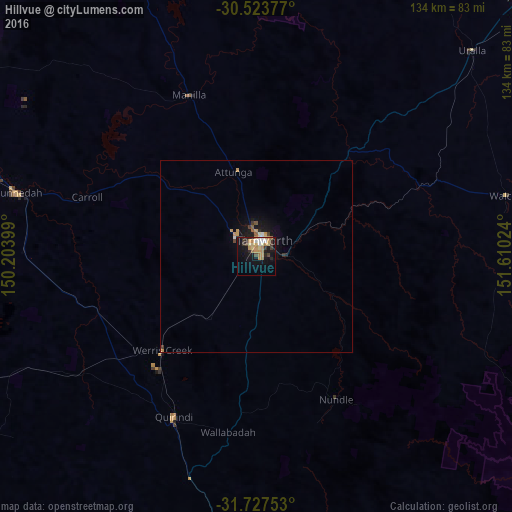
96.13%Clear (daylight) street map image can be seen on geolist.org.
Map coordinates:
30° 31' 25.6" South, 150° 12' 14.4" East
31° 7' 39.2" South, 150° 54' 25.6" East
31° 43' 39.1" South, 151° 36' 36.9" East
Some cities around Hillvue sort by population:
• Tamworth
4.6 km =2.9 mi,  26°
26°
• Armidale
100.5 km =62.4 mi,  46°
46°
• Gunnedah
63.9 km =39.7 mi,  284°
284°
• South Tamworth
2.4 km =1.5 mi,  36°
36°
• Scone
102.6 km =63.8 mi,  182°
182°
• North Tamworth
5.6 km =3.5 mi,  14°
14°
• East Tamworth
5.5 km =3.4 mi, 31°
• West Tamworth
2.9 km =1.8 mi, 14°
8348841 (p: 6,191)
Sources (retrieved 2019-11-25):
» Earth at Night: Flat Maps 2012, 2016