Strathfield night lights from space
Night Light of Strathfield (New South Wales) from space (Australia) Src. Average luminocity for 10x10km area is 93.521% and for 50x50km: 56.7988%.
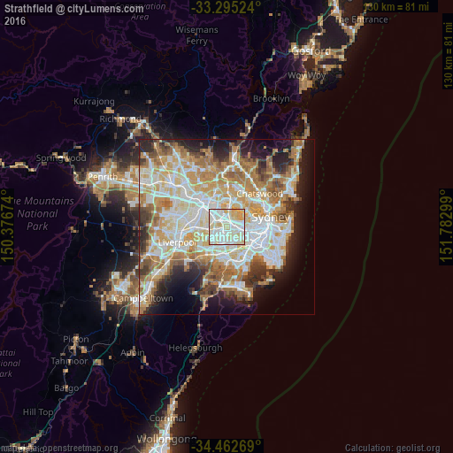
Analysis of Strathfield night lights 2016
Square area 10x10 km:
 34.44%
90-99
35.66%80-89
21.15%70-79
8.74%60-69
0%50-59
0%40-49
0%30-39
0%20-29
0%10-19
0%0-9
0%Square area 50x50 km:
13.15%90-99
14.59%80-89
7.66%70-79
9.12%60-69
10.39%50-59
5.41%40-49
3.5%30-39
4.93%20-29
6.59%10-19
9.43%0-9
15.23%Clear (daylight) street map image can be seen on geolist.org.
Map coordinates:
33° 17' 42.9" South, 150° 22' 36.3" East
33° 52' 51.5" South, 151° 4' 47.5" East
34° 27' 45.7" South, 151° 46' 58.8" East
Some cities around Strathfield sort by population:
• Greenacre
3.1 km =1.9 mi,  226°
226°
• Ashfield
4 km =2.5 mi,  101°
101°
• Burwood
1.9 km =1.2 mi, 98°
• Croydon
3.4 km =2.1 mi,  94°
94°
• Homebush West
2.4 km =1.5 mi,  329°
329°
• Homebush
1.6 km =1 mi,  11°
11°
• Concord West
3.7 km =2.3 mi, 8°
• Belfield
2.5 km =1.6 mi,  169°
169°
2148088 (p: 25,769)
Sources (retrieved 2019-11-25):
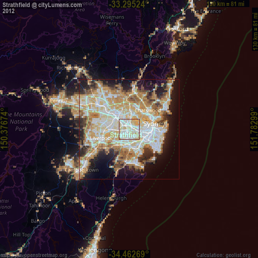
» Earth at Night: Flat Maps 2012, 2016