Greenacre night lights from space
Night Light of Greenacre (New South Wales) from space (Australia) Src. Average luminocity for 10x10km area is 94.0629% and for 50x50km: 57.5993%.
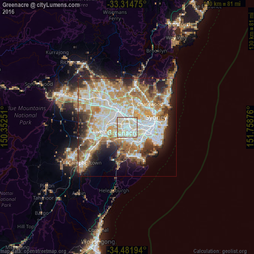
Analysis of Greenacre night lights 2016
Square area 10x10 km:
 31.99%
90-99
39.34%80-89
25.17%70-79
3.5%60-69
0%50-59
0%40-49
0%30-39
0%20-29
0%10-19
0%0-9
0%Square area 50x50 km:
13.4%90-99
14.84%80-89
7.71%70-79
9.42%60-69
10.6%50-59
5.42%40-49
3.75%30-39
5.04%20-29
6.66%10-19
7.97%0-9
15.2%Clear (daylight) street map image can be seen on geolist.org.
Map coordinates:
33° 18' 53.1" South, 150° 21' 9" East
33° 54' 1.2" South, 151° 3' 20.3" East
34° 28' 55" South, 151° 45' 31.5" East
Some cities around Greenacre sort by population:
• Bankstown
2.7 km =1.7 mi,  228°
228°
• Strathfield
3.1 km =1.9 mi,  46°
46°
• Punchbowl
3.2 km =2 mi,  187°
187°
• Yagoona
3.3 km =2.1 mi,  261°
261°
• Lakemba
2.9 km =1.8 mi,  139°
139°
• Belmore
3.7 km =2.3 mi,  123°
123°
• Wiley Park
2.9 km =1.8 mi,  157°
157°
• Belfield
2.7 km =1.7 mi,  97°
97°
8348574 (p: 24,361)
Sources (retrieved 2019-11-25):
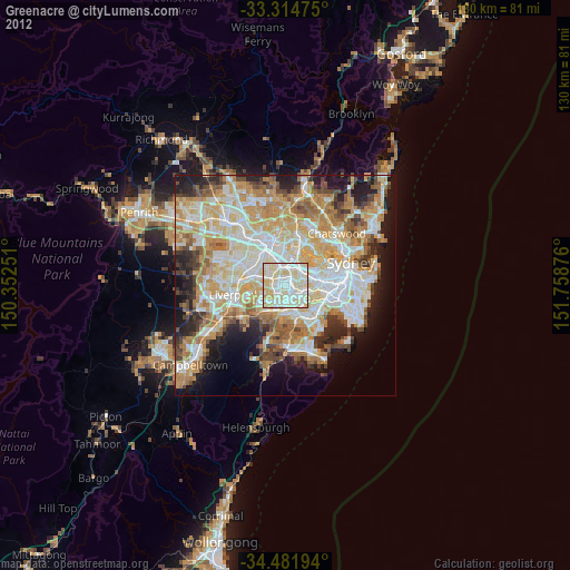
» Earth at Night: Flat Maps 2012, 2016