Slacks Creek night lights from space
Night Light of Slacks Creek (Queensland) from space (Australia) Src. Average luminocity for 10x10km area is 70.1567% and for 50x50km: 36.4668%.
Analysis of Slacks Creek night lights 2016
Square area 10x10 km:
 17.46%
90-99
14.48%80-89
9.52%70-79
9.13%60-69
20.83%50-59
7.94%40-49
4.56%30-39
2.58%20-29
10.91%10-19
2.58%0-9
0%Square area 50x50 km:
6.49%90-99
7.26%80-89
4.14%70-79
5.37%60-69
10.33%50-59
3.18%40-49
3.59%30-39
4.12%20-29
6.68%10-19
11.72%0-9
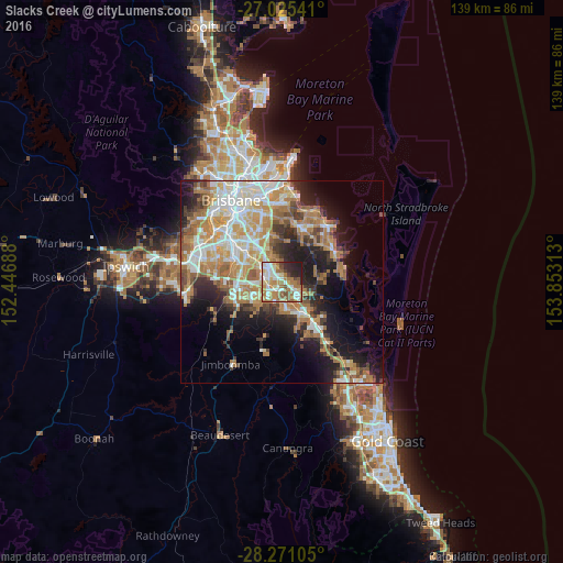
37.11%Clear (daylight) street map image can be seen on geolist.org.
Map coordinates:
27° 1' 31.5" South, 152° 26' 48.8" East
27° 39' 0" South, 153° 9' 0" East
28° 16' 15.8" South, 153° 51' 11.3" East
Some cities around Slacks Creek sort by population:
• Logan City
4.2 km =2.6 mi,  286°
286°
• Shailer Park
2.7 km =1.7 mi,  89°
89°
• Kingston
3.8 km =2.4 mi,  240°
240°
• Springwood
4.7 km =2.9 mi,  334°
334°
• Loganlea
3.2 km =2 mi,  208°
208°
• Daisy Hill
2.3 km =1.4 mi,  19°
19°
• Waterford West
4.8 km =3 mi,  200°
200°
• Logan Central
4.3 km =2.7 mi,  279°
279°
2149349 (p: 10,352)
Sources (retrieved 2019-11-25):
» Earth at Night: Flat Maps 2012, 2016