Waterford West night lights from space
Night Light of Waterford West (Queensland) from space (Australia) Src. Average luminocity for 10x10km area is 62.4623% and for 50x50km: 34.2166%.
Analysis of Waterford West night lights 2016
Square area 10x10 km:
 8.53%
8.53%90-99
8.33%80-89
9.92%70-79
10.12%60-69
26.98%50-59
6.55%40-49
7.14%30-39
5.75%20-29
11.51%10-19
5.16%0-9
0%Square area 50x50 km:
5.29%90-99
6.13%80-89
3.84%70-79
5.06%60-69
10.85%50-59
3.58%40-49
3.84%30-39
4.16%20-29
6.34%10-19
11.51%0-9
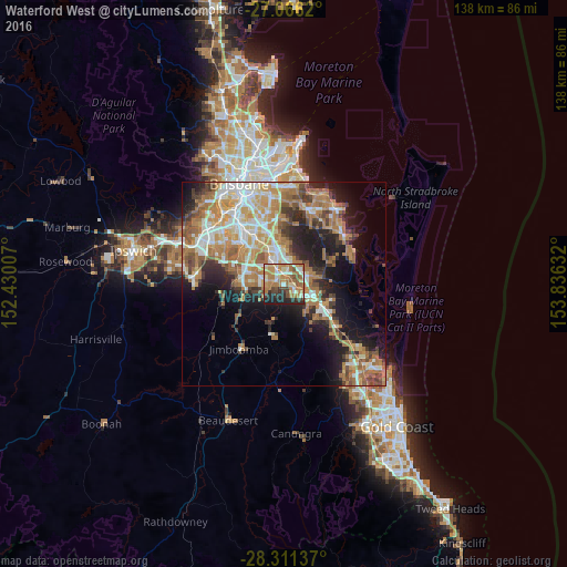
39.41%Clear (daylight) street map image can be seen on geolist.org.
Map coordinates:
27° 3' 58.3" South, 152° 25' 48.3" East
27° 41' 26" South, 153° 7' 59.5" East
28° 18' 40.9" South, 153° 50' 10.8" East
Some cities around Waterford West sort by population:
• Marsden
4 km =2.5 mi,  298°
298°
• Crestmead
4.8 km =3 mi,  273°
273°
• Kingston
3.1 km =1.9 mi,  328°
328°
• Slacks Creek
4.8 km =3 mi,  20°
20°
• Loganlea
1.7 km =1.1 mi,  5°
5°
• Loganholme
5.3 km =3.3 mi,  82°
82°
• Logan Central
5.8 km =3.6 mi, 333°
• Edens Landing
3.8 km =2.4 mi,  110°
110°
9958129 (p: 6,341)
Sources (retrieved 2019-11-25):
» Earth at Night: Flat Maps 2012, 2016