Kingston night lights from space
Night Light of Kingston (Queensland) from space (Australia) Src. Average luminocity for 10x10km area is 74.506% and for 50x50km: 36.5414%.
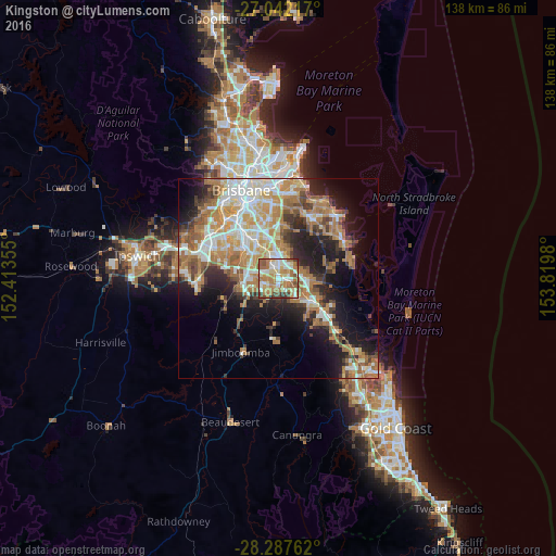
Analysis of Kingston night lights 2016
Square area 10x10 km:
 15.28%
90-99
13.89%80-89
10.91%70-79
11.9%60-69
28.57%50-59
8.93%40-49
6.94%30-39
3.17%20-29
0.4%10-19
0%0-9
0%Square area 50x50 km:
6.11%90-99
6.96%80-89
4.13%70-79
5.35%60-69
11.03%50-59
3.58%40-49
3.66%30-39
4.14%20-29
6.73%10-19
12.03%0-9
36.28%Clear (daylight) street map image can be seen on geolist.org.
Map coordinates:
27° 2' 31.8" South, 152° 24' 48.8" East
27° 40' 0" South, 153° 7' 0" East
28° 17' 15.4" South, 153° 49' 11.3" East
Some cities around Kingston sort by population:
• Logan City
3.1 km =1.9 mi,  346°
346°
• Marsden
2 km =1.2 mi,  248°
248°
• Woodridge
4.1 km =2.5 mi,  336°
336°
• Crestmead
3.9 km =2.4 mi,  233°
233°
• Slacks Creek
3.8 km =2.4 mi,  60°
60°
• Loganlea
2 km =1.2 mi,  118°
118°
• Waterford West
3.1 km =1.9 mi,  148°
148°
• Logan Central
2.7 km =1.7 mi, 339°
2161315 (p: 10,518)
Sources (retrieved 2019-11-25):
» Earth at Night: Flat Maps 2012, 2016