Kilmore night lights from space
Night Light of Kilmore (Victoria) from space (Australia) Src. Average luminocity for 10x10km area is 3.6883% and for 50x50km: 0.6353%.
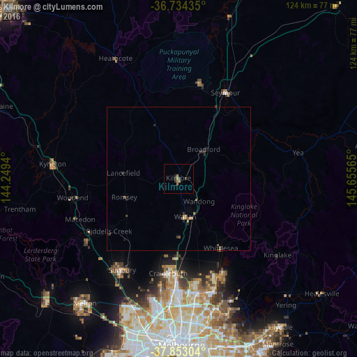
Analysis of Kilmore night lights 2016
Square area 10x10 km:
 0%
0%90-99
0%80-89
0%70-79
1.14%60-69
1.46%50-59
0.65%40-49
0.65%30-39
1.14%20-29
1.46%10-19
0%0-9
93.51%Square area 50x50 km:
0%90-99
0%80-89
0.03%70-79
0.14%60-69
0.2%50-59
0.11%40-49
0.1%30-39
0.22%20-29
0.33%10-19
0.1%0-9
98.77%Clear (daylight) street map image can be seen on geolist.org.
Map coordinates:
36° 44' 3.7" South, 144° 14' 57.8" East
37° 17' 44.8" South, 144° 57' 9.1" East
37° 51' 10.9" South, 145° 39' 20.3" East
Some cities around Kilmore sort by population:
• Craigieburn
33.8 km =21 mi,  180°
180°
• Sunbury
37.2 km =23.1 mi,  212°
212°
• Roxburgh Park
36.8 km =22.9 mi, 183°
• Mernda
36.2 km =22.5 mi,  159°
159°
• Wallan
13.6 km =8.5 mi,  170°
170°
• Wollert
32.8 km =20.4 mi, 167°
• Seymour
34.2 km =21.3 mi,  28°
28°
• Whittlesea
28.1 km =17.5 mi,  148°
148°
2161415 (p: 7,865)
Sources (retrieved 2019-11-25):
» Earth at Night: Flat Maps 2012, 2016