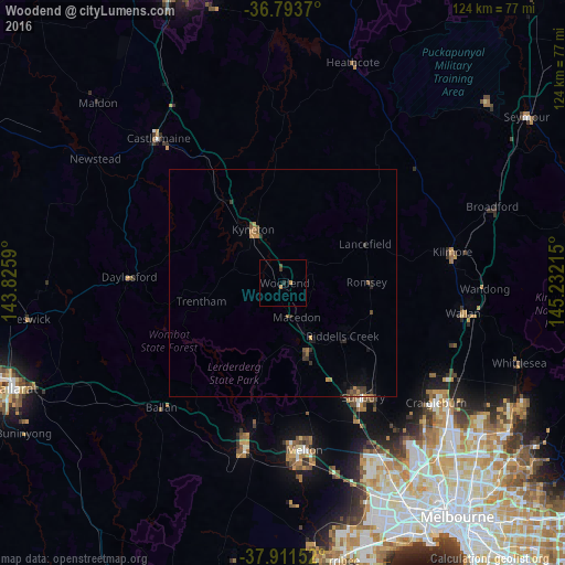
Woodend night lights from space
Night Light of Woodend (Victoria) from space (Australia) Src. Average luminocity for 10x10km area is 1.7906% and for 50x50km: 0.9152%.
Analysis of Woodend night lights 2016
Square area 10x10 km:
 0%
0%90-99
0%80-89
0%70-79
0.81%60-69
0.49%50-59
0%40-49
0.65%30-39
0.65%20-29
0.65%10-19
0%0-9
96.75%Square area 50x50 km:
0%90-99
0.01%80-89
0%70-79
0.24%60-69
0.22%50-59
0.22%40-49
0.19%30-39
0.33%20-29
0.27%10-19
0.25%0-9
98.26%Clear (daylight) street map image can be seen on geolist.org.
Map coordinates:
36° 47' 37.3" South, 143° 49' 33.2" East
37° 21' 16.9" South, 144° 31' 44.5" East
37° 54' 41.5" South, 145° 13' 55.7" East
Some cities around Woodend sort by population:
• Sunbury
30.3 km =18.8 mi,  144°
144°
• Melton West
36.2 km =22.5 mi,  174°
174°
• Kurunjang
36.2 km =22.5 mi, 170°
• Gisborne
16 km =9.9 mi,  158°
158°
• Darley
34.6 km =21.5 mi,  192°
192°
• Melton
36.9 km =22.9 mi, 172°
• Kyneton
14 km =8.7 mi,  330°
330°
• Bacchus Marsh
36.3 km =22.6 mi, 192°
2143103 (p: 5,709)
Sources (retrieved 2019-11-25):
» Earth at Night: Flat Maps 2012, 2016