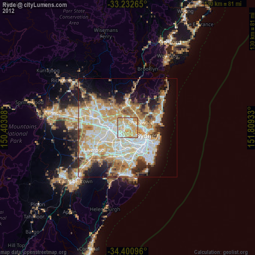
Ryde night lights from space
Night Light of Ryde (New South Wales) from space (Australia) Src. Average luminocity for 10x10km area is 85.986% and for 50x50km: 53.0119%.
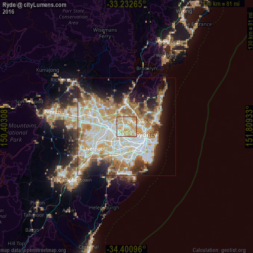
Analysis of Ryde night lights 2016
Square area 10x10 km:
 17.31%
90-99
22.2%80-89
24.13%70-79
33.74%60-69
2.62%50-59
0%40-49
0%30-39
0%20-29
0%10-19
0%0-9
0%Square area 50x50 km:
12.54%90-99
13.94%80-89
7.29%70-79
8.55%60-69
9.54%50-59
4.76%40-49
2.85%30-39
3.95%20-29
5.53%10-19
8.58%0-9
22.49%Clear (daylight) street map image can be seen on geolist.org.
Map coordinates:
33° 13' 57.5" South, 150° 24' 11.1" East
33° 49' 7.7" South, 151° 6' 22.3" East
34° 24' 3.5" South, 151° 48' 33.6" East
Some cities around Ryde sort by population:
• Eastwood
3.8 km =2.4 mi,  321°
321°
• Concord
3.2 km =2 mi,  183°
183°
• West Ryde
3.3 km =2.1 mi,  296°
296°
• Rhodes
1.9 km =1.2 mi,  242°
242°
• Gladesville
3 km =1.9 mi,  122°
122°
• North Ryde
3 km =1.9 mi,  34°
34°
• Wentworth Point
3.2 km =2 mi,  245°
245°
• Concord West
3.7 km =2.3 mi,  209°
209°
2150767 (p: 26,385)
Sources (retrieved 2019-11-25):
» Earth at Night: Flat Maps 2012, 2016