Ropes Crossing night lights from space
Night Light of Ropes Crossing (New South Wales) from space (Australia) Src. Average luminocity for 10x10km area is 65.1575% and for 50x50km: 33.0968%.
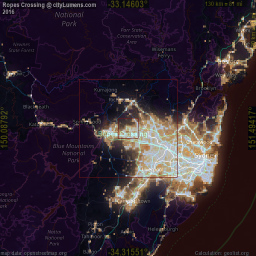
Analysis of Ropes Crossing night lights 2016
Square area 10x10 km:
 14.47%
90-99
18.5%80-89
5.13%70-79
11.17%60-69
11.72%50-59
3.85%40-49
7.69%30-39
8.24%20-29
14.1%10-19
5.13%0-9
0%Square area 50x50 km:
7.21%90-99
8.48%80-89
4.66%70-79
5.62%60-69
5.13%50-59
2.23%40-49
2.59%30-39
3.37%20-29
4.45%10-19
7.09%0-9
49.17%Clear (daylight) street map image can be seen on geolist.org.
Map coordinates:
33° 8' 45.7" South, 150° 5' 16.5" East
33° 43' 57.9" South, 150° 47' 27.7" East
34° 18' 55.8" South, 151° 29' 39" East
Some cities around Ropes Crossing sort by population:
• Mount Druitt
4.5 km =2.8 mi,  147°
147°
• Rooty Hill
5.4 km =3.4 mi,  133°
133°
• Plumpton
4.7 km =2.9 mi,  116°
116°
• Colyton
5.6 km =3.5 mi,  174°
174°
• Oakhurst
4.4 km =2.7 mi,  98°
98°
• Whalan
2.9 km =1.8 mi,  155°
155°
• Hebersham
3.4 km =2.1 mi, 115°
• Jordan Springs
5.9 km =3.7 mi,  282°
282°
8348740 (p: 6,151)
Sources (retrieved 2019-11-25):
» Earth at Night: Flat Maps 2012, 2016