Jordan Springs night lights from space
Night Light of Jordan Springs (New South Wales) from space (Australia) Src. Average luminocity for 10x10km area is 48.2949% and for 50x50km: 26.2827%.
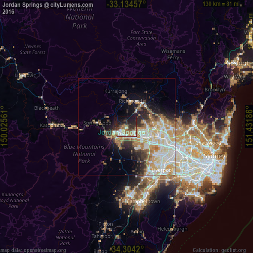
Analysis of Jordan Springs night lights 2016
Square area 10x10 km:
 9.89%
9.89%90-99
8.79%80-89
3.48%70-79
7.88%60-69
8.79%50-59
4.58%40-49
6.96%30-39
9.89%20-29
12.64%10-19
22.89%0-9
4.21%Square area 50x50 km:
5.5%90-99
6.48%80-89
3.52%70-79
4.33%60-69
3.99%50-59
1.86%40-49
2.43%30-39
3.23%20-29
4.11%10-19
6.52%0-9
58.02%Clear (daylight) street map image can be seen on geolist.org.
Map coordinates:
33° 8' 4.5" South, 150° 1' 32.2" East
33° 43' 17" South, 150° 43' 43.4" East
34° 18' 15.1" South, 151° 25' 54.7" East
Some cities around Jordan Springs sort by population:
• Cranebrook
2.5 km =1.6 mi,  313°
313°
• Penrith
4.1 km =2.5 mi,  219°
219°
• Kingswood Park
5.2 km =3.2 mi,  194°
194°
• South Penrith
6.6 km =4.1 mi,  208°
208°
• Emu Plains
6.6 km =4.1 mi,  240°
240°
• Cambridge Park
3 km =1.9 mi, 191°
• Ropes Crossing
5.9 km =3.7 mi,  102°
102°
• Jamisontown
7.1 km =4.4 mi, 222°
11704265 (p: 5,111)
Sources (retrieved 2019-11-25):
» Earth at Night: Flat Maps 2012, 2016