Quakers Hill night lights from space
Night Light of Quakers Hill (New South Wales) from space (Australia) Src. Average luminocity for 10x10km area is 85.4341% and for 50x50km: 41.6615%.
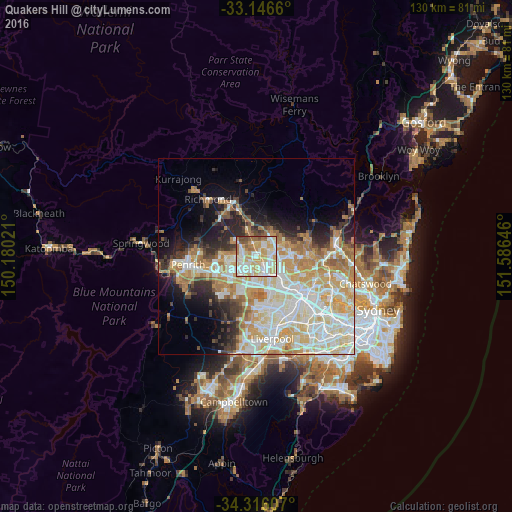
Analysis of Quakers Hill night lights 2016
Square area 10x10 km:
 20.51%
90-99
28.94%80-89
21.61%70-79
12.45%60-69
8.06%50-59
5.86%40-49
2.56%30-39
0%20-29
0%10-19
0%0-9
0%Square area 50x50 km:
9.22%90-99
11.09%80-89
6.47%70-79
7.32%60-69
6.3%50-59
2.71%40-49
2.59%30-39
3.65%20-29
4.88%10-19
7.71%0-9
38.05%Clear (daylight) street map image can be seen on geolist.org.
Map coordinates:
33° 8' 47.8" South, 150° 10' 48.8" East
33° 43' 60" South, 150° 52' 60" East
34° 18' 57.9" South, 151° 35' 11.3" East
Some cities around Quakers Hill sort by population:
• Glenwood
4.6 km =2.9 mi,  90°
90°
• Doonside
4 km =2.5 mi,  202°
202°
• The Ponds
4.3 km =2.7 mi,  36°
36°
• Stanhope Gardens
4.1 km =2.5 mi,  72°
72°
• Marayong
1.9 km =1.2 mi,  152°
152°
• Oakhurst
4.2 km =2.6 mi,  261°
261°
• Woodcroft
2.6 km =1.6 mi,  185°
185°
• Glendenning
3.2 km =2 mi,  238°
238°
2152329 (p: 26,904)
Sources (retrieved 2019-11-25):
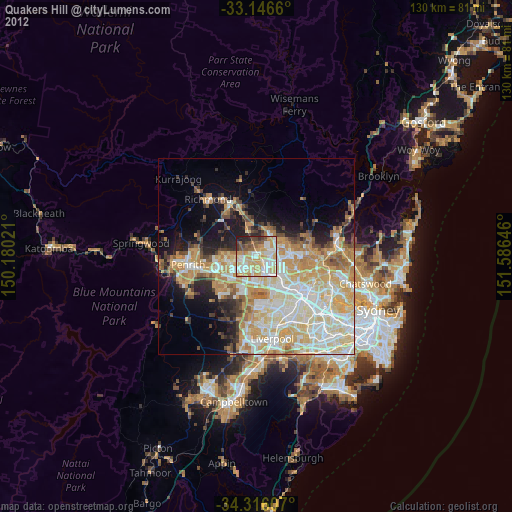
» Earth at Night: Flat Maps 2012, 2016