Labrador night lights from space
Night Light of Labrador (Queensland) from space (Australia) Src. Average luminocity for 10x10km area is 63.8617% and for 50x50km: 16.9261%.
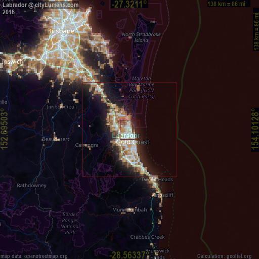
Analysis of Labrador night lights 2016
Square area 10x10 km:
 17.8%
17.8%90-99
17.23%80-89
4.55%70-79
6.44%60-69
12.31%50-59
5.3%40-49
8.14%30-39
4.55%20-29
12.69%10-19
9.66%0-9
1.33%Square area 50x50 km:
2.86%90-99
3.07%80-89
1.53%70-79
1.25%60-69
5.02%50-59
1.81%40-49
1.96%30-39
2.22%20-29
4.33%10-19
9.67%0-9
66.28%Clear (daylight) street map image can be seen on geolist.org.
Map coordinates:
27° 19' 16" South, 152° 41' 42.1" East
27° 56' 38.5" South, 153° 23' 53.3" East
28° 33' 48.1" South, 154° 6' 4.6" East
Some cities around Labrador sort by population:
• Southport
2.6 km =1.6 mi,  180°
180°
• Coombabah
4.6 km =2.9 mi,  324°
324°
• Arundel
3.5 km =2.2 mi,  281°
281°
• Runaway Bay
3.4 km =2.1 mi,  359°
359°
• Biggera Waters
1.3 km =0.8 mi,  8°
8°
• Parkwood
3.6 km =2.2 mi,  251°
251°
• Molendinar
5 km =3.1 mi,  227°
227°
• Main Beach
4.8 km =3 mi,  144°
144°
8012683 (p: 18,326)
Sources (retrieved 2019-11-25):
» Earth at Night: Flat Maps 2012, 2016