Medowie night lights from space
Night Light of Medowie (New South Wales) from space (Australia) Src. Average luminocity for 10x10km area is 5.0594% and for 50x50km: 9.8479%.
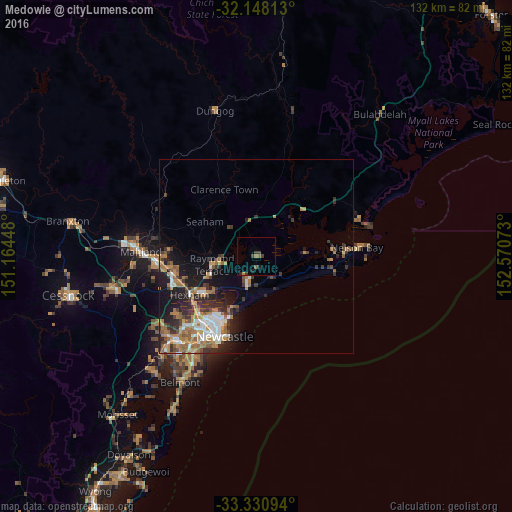
Analysis of Medowie night lights 2016
Square area 10x10 km:
 0%
0%90-99
0%80-89
0%70-79
0.7%60-69
1.05%50-59
1.05%40-49
0.7%30-39
2.97%20-29
1.05%10-19
0.87%0-9
91.61%Square area 50x50 km:
1.29%90-99
1.43%80-89
0.36%70-79
1.54%60-69
2.84%50-59
1.33%40-49
1.03%30-39
2.19%20-29
2.6%10-19
5.39%0-9
79.98%Clear (daylight) street map image can be seen on geolist.org.
Map coordinates:
32° 8' 53.3" South, 151° 9' 52.1" East
32° 44' 29.4" South, 151° 52' 3.4" East
33° 19' 51.4" South, 152° 34' 14.6" East
Some cities around Medowie sort by population:
• Newcastle
22.4 km =13.9 mi,  201°
201°
• Raymond Terrace
11.1 km =6.9 mi,  259°
259°
• New Lambton
25.5 km =15.8 mi,  215°
215°
• Mayfield
21.3 km =13.2 mi, 215°
• Thornton
22.4 km =13.9 mi, 258°
• Maryland
24.6 km =15.3 mi,  231°
231°
• Adamstown
25.6 km =15.9 mi,  211°
211°
• Corlette
22.7 km =14.1 mi,  83°
83°
2158220 (p: 9,301)
Sources (retrieved 2019-11-25):
» Earth at Night: Flat Maps 2012, 2016