Mayfield night lights from space
Night Light of Mayfield (New South Wales) from space (Australia) Src. Average luminocity for 10x10km area is 73.6685% and for 50x50km: 15.0186%.
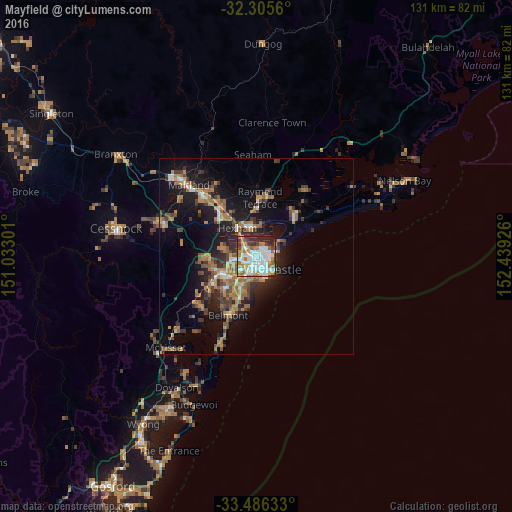
Analysis of Mayfield night lights 2016
Square area 10x10 km:
 23.26%
90-99
23.26%80-89
2.38%70-79
9.16%60-69
14.29%50-59
4.4%40-49
4.58%30-39
7.69%20-29
10.07%10-19
0.92%0-9
0%Square area 50x50 km:
1.5%90-99
1.76%80-89
0.55%70-79
2.4%60-69
4.37%50-59
2.02%40-49
2.03%30-39
3.38%20-29
3.71%10-19
10.78%0-9
67.51%Clear (daylight) street map image can be seen on geolist.org.
Map coordinates:
32° 18' 20.2" South, 151° 1' 58.8" East
32° 53' 52.5" South, 151° 44' 10.1" East
33° 29' 10.8" South, 152° 26' 21.3" East
Some cities around Mayfield sort by population:
• Newcastle
5.4 km =3.4 mi,  130°
130°
• Wallsend
6.7 km =4.2 mi,  266°
266°
• Merewether
5.6 km =3.5 mi,  173°
173°
• New Lambton
4.3 km =2.7 mi,  217°
217°
• Maryland
7.3 km =4.5 mi,  286°
286°
• Adamstown
4.6 km =2.9 mi,  192°
192°
• Elermore Vale
5.9 km =3.7 mi,  249°
249°
• Adamstown Heights
6.2 km =3.9 mi,  203°
203°
10103855 (p: 9,218)
Sources (retrieved 2019-11-25):
» Earth at Night: Flat Maps 2012, 2016