Newcastle night lights from space
Night Light of Newcastle (New South Wales) from space (Australia) Src. Average luminocity for 10x10km area is 48.326% and for 50x50km: 14.0821%.
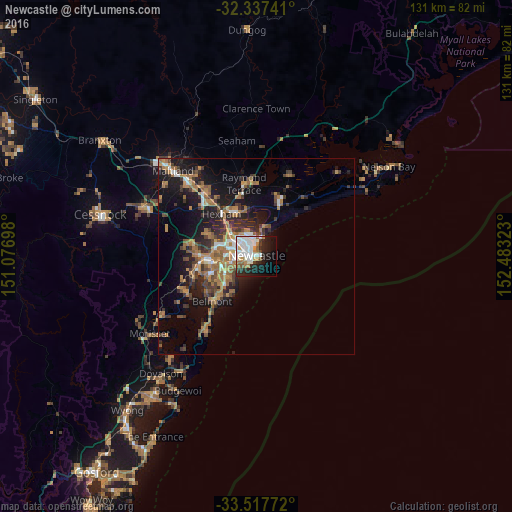
Analysis of Newcastle night lights 2016
Square area 10x10 km:
 14.47%
90-99
15.93%80-89
1.28%70-79
4.76%60-69
4.76%50-59
4.03%40-49
1.83%30-39
2.93%20-29
12.64%10-19
20.33%0-9
17.03%Square area 50x50 km:
1.46%90-99
1.66%80-89
0.49%70-79
2.21%60-69
4.23%50-59
1.89%40-49
1.89%30-39
3.11%20-29
3.64%10-19
9.99%0-9
69.44%Clear (daylight) street map image can be seen on geolist.org.
Map coordinates:
32° 20' 14.7" South, 151° 4' 37.1" East
32° 55' 46.3" South, 151° 46' 48.4" East
33° 31' 3.8" South, 152° 28' 59.6" East
Some cities around Newcastle sort by population:
• Wallsend
11.3 km =7 mi,  286°
286°
• Charlestown
9.2 km =5.7 mi,  242°
242°
• Merewether
4 km =2.5 mi, 239°
• New Lambton
6.7 km =4.2 mi,  271°
271°
• Mayfield
5.4 km =3.4 mi,  310°
310°
• Adamstown
5.2 km =3.2 mi,  259°
259°
• Elermore Vale
9.8 km =6.1 mi,  278°
278°
• Adamstown Heights
6.9 km =4.3 mi,  251°
251°
2155472 (p: 308,308)
Sources (retrieved 2019-11-25):
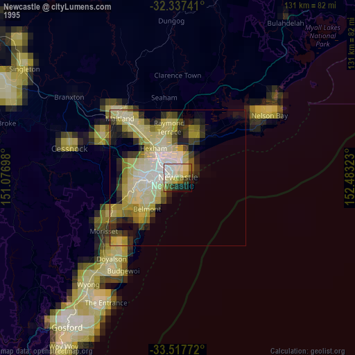
» NASA, Earths city lights 1995
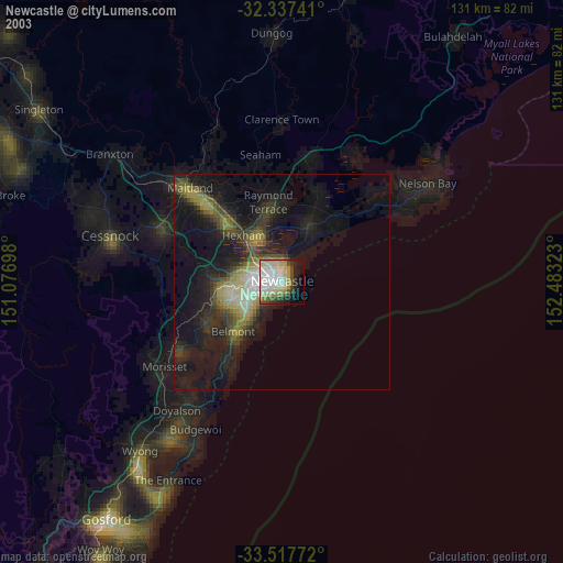
» NASA city lights 2003
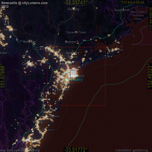
» Earth at Night: Flat Maps 2012, 2016