Main Beach night lights from space
Night Light of Main Beach (Queensland) from space (Australia) Src. Average luminocity for 10x10km area is 55.2822% and for 50x50km: 16.4769%.
Analysis of Main Beach night lights 2016
Square area 10x10 km:
 17.61%
90-99
17.42%80-89
4.73%70-79
5.11%60-69
3.6%50-59
1.89%40-49
3.03%30-39
4.92%20-29
14.58%10-19
16.67%0-9
10.42%Square area 50x50 km:
2.87%90-99
3.01%80-89
1.48%70-79
1.22%60-69
4.76%50-59
1.8%40-49
1.81%30-39
2.01%20-29
4.17%10-19
9.9%0-9
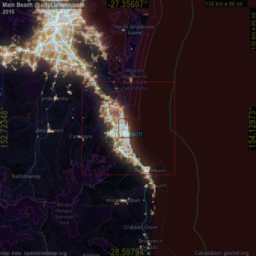
66.99%Clear (daylight) street map image can be seen on geolist.org.
Map coordinates:
27° 21' 21.9" South, 152° 43' 24.5" East
27° 58' 43.6" South, 153° 25' 35.8" East
28° 35' 52.6" South, 154° 7' 47" East
Some cities around Main Beach sort by population:
• Gold Coast
2.4 km =1.5 mi,  170°
170°
• Southport
3.1 km =1.9 mi,  294°
294°
• Surfers Paradise
2.7 km =1.7 mi, 172°
• Labrador
4.8 km =3 mi,  324°
324°
• Ashmore
5 km =3.1 mi,  257°
257°
• Benowa
5.1 km =3.2 mi,  231°
231°
• Biggera Waters
5.8 km =3.6 mi,  333°
333°
• Broadbeach
5.5 km =3.4 mi, 172°
6941781 (p: 5,645)
Sources (retrieved 2019-11-25):
» Earth at Night: Flat Maps 2012, 2016