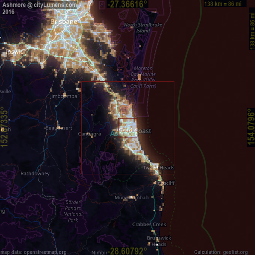
Ashmore night lights from space
Night Light of Ashmore (Queensland) from space (Australia) Src. Average luminocity for 10x10km area is 84.2178% and for 50x50km: 16.4496%.
Analysis of Ashmore night lights 2016
Square area 10x10 km:
 26.14%
90-99
28.22%80-89
7.77%70-79
12.88%60-69
14.2%50-59
5.11%40-49
3.41%30-39
1.33%20-29
0.95%10-19
0%0-9
0%Square area 50x50 km:
2.83%90-99
2.97%80-89
1.51%70-79
1.22%60-69
4.68%50-59
1.79%40-49
1.87%30-39
2.03%20-29
4.09%10-19
10.05%0-9
66.96%Clear (daylight) street map image can be seen on geolist.org.
Map coordinates:
27° 21' 58.2" South, 152° 40' 24.1" East
27° 59' 19.8" South, 153° 22' 35.3" East
28° 36' 28.5" South, 154° 4' 46.6" East
Some cities around Ashmore sort by population:
• Southport
3.2 km =2 mi,  41°
41°
• Nerang
3.9 km =2.4 mi,  269°
269°
• Carrara
3.8 km =2.4 mi,  195°
195°
• Benowa
2.3 km =1.4 mi,  156°
156°
• Parkwood
4 km =2.5 mi,  340°
340°
• Highland Park
5.1 km =3.2 mi,  236°
236°
• Molendinar
2.3 km =1.4 mi,  316°
316°
• Main Beach
5 km =3.1 mi,  77°
77°
8348495 (p: 11,902)
Sources (retrieved 2019-11-25):
» Earth at Night: Flat Maps 2012, 2016