Broadbeach night lights from space
Night Light of Broadbeach (Queensland) from space (Australia) Src. Average luminocity for 10x10km area is 58.6136% and for 50x50km: 16.072%.
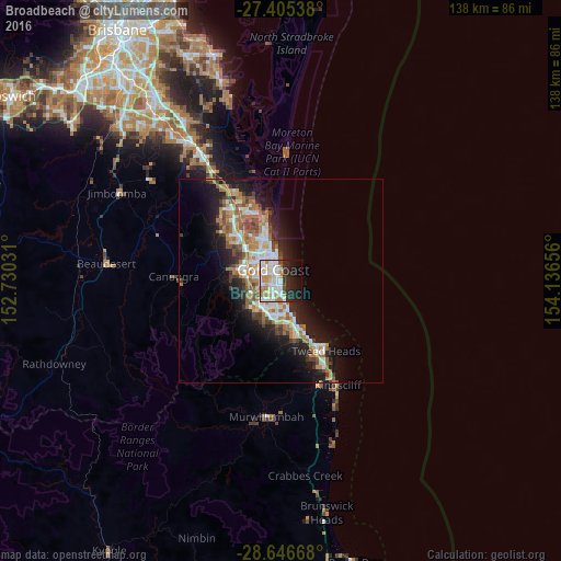
Analysis of Broadbeach night lights 2016
Square area 10x10 km:
 16.86%
90-99
16.29%80-89
7.2%70-79
5.3%60-69
8.52%50-59
1.14%40-49
2.46%30-39
6.06%20-29
15.34%10-19
16.1%0-9
4.73%Square area 50x50 km:
2.8%90-99
2.97%80-89
1.52%70-79
1.27%60-69
4.49%50-59
1.7%40-49
1.82%30-39
1.91%20-29
3.96%10-19
9.49%0-9
68.07%Clear (daylight) street map image can be seen on geolist.org.
Map coordinates:
27° 24' 19.4" South, 152° 43' 49.1" East
28° 1' 40.2" South, 153° 26' 0.3" East
28° 38' 48" South, 154° 8' 11.6" East
Some cities around Broadbeach sort by population:
• Gold Coast
3.1 km =1.9 mi,  355°
355°
• Surfers Paradise
2.8 km =1.7 mi,  353°
353°
• Robina
6.2 km =3.9 mi,  219°
219°
• Mermaid Waters
2.4 km =1.5 mi,  186°
186°
• Benowa
5.2 km =3.2 mi,  295°
295°
• Mermaid Beach
1.8 km =1.1 mi,  176°
176°
• Miami
4.9 km =3 mi,  170°
170°
• Main Beach
5.5 km =3.4 mi, 352°
2173977 (p: 8,738)
Sources (retrieved 2019-11-25):
» Earth at Night: Flat Maps 2012, 2016