Liverpool night lights from space
Night Light of Liverpool (New South Wales) from space (Australia) Src. Average luminocity for 10x10km area is 88.0227% and for 50x50km: 54.2554%.
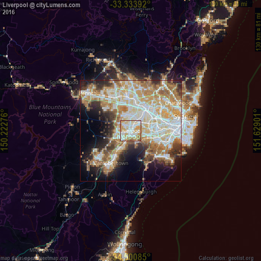
Analysis of Liverpool night lights 2016
Square area 10x10 km:
 25.35%
90-99
27.8%80-89
18.36%70-79
19.58%60-69
4.72%50-59
4.2%40-49
0%30-39
0%20-29
0%10-19
0%0-9
0%Square area 50x50 km:
12.28%90-99
13.47%80-89
7.54%70-79
9.17%60-69
9.91%50-59
5.24%40-49
3.62%30-39
5.11%20-29
5.79%10-19
8.3%0-9
19.57%Clear (daylight) street map image can be seen on geolist.org.
Map coordinates:
33° 20' 2.1" South, 150° 13' 21.9" East
33° 55' 9.8" South, 150° 55' 33.2" East
34° 30' 3.1" South, 151° 37' 44.4" East
Some cities around Liverpool sort by population:
• Cabramatta
2.6 km =1.6 mi,  17°
17°
• Canley Heights
4.1 km =2.5 mi,  357°
357°
• Mount Pritchard
2.7 km =1.7 mi,  313°
313°
• Moorebank
3.9 km =2.4 mi,  133°
133°
• Lurnea
3.2 km =2 mi,  236°
236°
• Chipping Norton
3.1 km =1.9 mi,  87°
87°
• Cabramatta West
3.2 km =2 mi,  336°
336°
• Warwick Farm
1.3 km =0.8 mi,  54°
54°
2159851 (p: 27,545)
Sources (retrieved 2019-11-25):
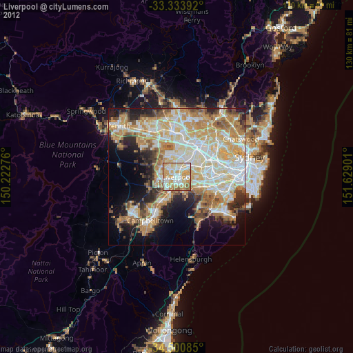
» Earth at Night: Flat Maps 2012, 2016