Kaleen night lights from space
Night Light of Kaleen (ACT) from space (Australia) Src. Average luminocity for 10x10km area is 79.1469% and for 50x50km: 15.279%.
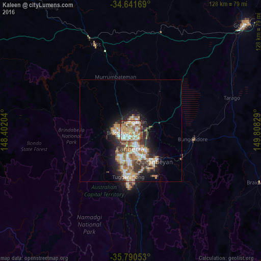
Analysis of Kaleen night lights 2016
Square area 10x10 km:
100  15.56%
90-99 23.25%
80-89 11.89%
70-79 15.03%
60-69 22.38%
50-59 5.59%
40-49 2.62%
30-39 2.62%
20-29 1.05%
10-19 0%
0-9 0%
15.56%90-99
23.25%80-89
11.89%70-79
15.03%60-69
22.38%50-59
5.59%40-49
2.62%30-39
2.62%20-29
1.05%10-19
0%0-9
0%Square area 50x50 km:
100 2.42%
90-99 3.01%
80-89 1.48%
70-79 2.33%
60-69 3.74%
50-59 1.81%
40-49 1.31%
30-39 2.49%
20-29 3.27%
10-19 6.16%
0-9 71.98%
2.42%90-99
3.01%80-89
1.48%70-79
2.33%60-69
3.74%50-59
1.81%40-49
1.31%30-39
2.49%20-29
3.27%10-19
6.16%0-9
71.98%Clear (daylight) street map image can be seen on geolist.org.
Map coordinates:
34° 38' 30.1" South, 148° 24' 7.3" East
35° 13' 5.3" South, 149° 6' 18.6" East
35° 47' 25.9" South, 149° 48' 29.8" East
Some cities around Kaleen sort by population:
• Bruce
3.2 km =2 mi,  204°
204°
• Nicholls
3.5 km =2.2 mi,  347°
347°
• Belconnen
4.2 km =2.6 mi,  238°
238°
• Franklin
4 km =2.5 mi,  59°
59°
• O'Connor
4.3 km =2.7 mi,  171°
171°
• Palmerston
2.9 km =1.8 mi,  26°
26°
• Evatt
3.4 km =2.1 mi,  281°
281°
• Lyneham
3.3 km =2.1 mi,  136°
136°
6619483 (p: 7,092)
Sources (retrieved 2019-11-25):
» Earth at Night: Flat Maps 2012, 2016