Palmerston night lights from space
Night Light of Palmerston (ACT) from space (Australia) Src. Average luminocity for 10x10km area is 64% and for 50x50km: 14.4952%.
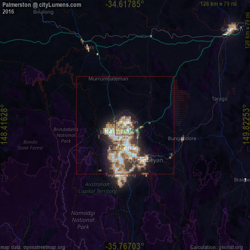
Analysis of Palmerston night lights 2016
Square area 10x10 km:
 8.04%
8.04%90-99
11.89%80-89
11.71%70-79
14.16%60-69
19.93%50-59
8.74%40-49
1.57%30-39
4.9%20-29
11.36%10-19
7.69%0-9
0%Square area 50x50 km:
2.34%90-99
2.87%80-89
1.36%70-79
2.17%60-69
3.56%50-59
1.77%40-49
1.29%30-39
2.5%20-29
2.94%10-19
5.61%0-9
73.59%Clear (daylight) street map image can be seen on geolist.org.
Map coordinates:
34° 37' 4.3" South, 148° 24' 58.6" East
35° 11' 40.1" South, 149° 7' 9.8" East
35° 46' 1.3" South, 149° 49' 21.1" East
Some cities around Palmerston sort by population:
• Ngunnawal
2.5 km =1.6 mi,  343°
343°
• Harrison
3.4 km =2.1 mi,  98°
98°
• Kaleen
2.9 km =1.8 mi,  206°
206°
• Nicholls
2.2 km =1.4 mi,  290°
290°
• Franklin
2.2 km =1.4 mi, 104°
• Gungahlin
1.8 km =1.1 mi,  60°
60°
• Casey
3.8 km =2.4 mi,  323°
323°
• Amaroo
2.9 km =1.8 mi,  15°
15°
8349170 (p: 5,430)
Sources (retrieved 2019-11-25):
» Earth at Night: Flat Maps 2012, 2016