Yagoona night lights from space
Night Light of Yagoona (New South Wales) from space (Australia) Src. Average luminocity for 10x10km area is 91.7517% and for 50x50km: 58.9996%.
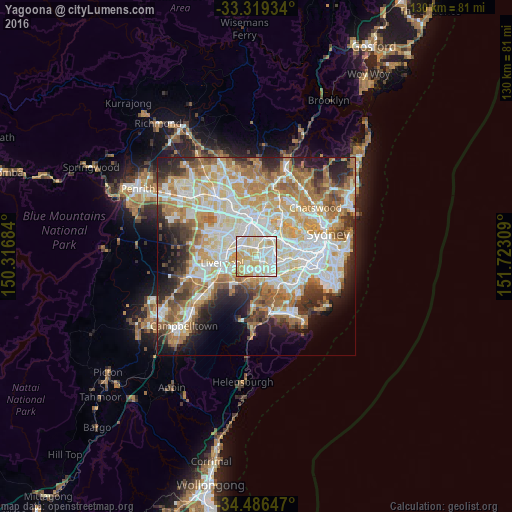
Analysis of Yagoona night lights 2016
Square area 10x10 km:
 28.67%
90-99
35.14%80-89
22.9%70-79
11.19%60-69
1.75%50-59
0.35%40-49
0%30-39
0%20-29
0%10-19
0%0-9
0%Square area 50x50 km:
13.89%90-99
15.03%80-89
7.75%70-79
9.54%60-69
10.85%50-59
5.82%40-49
4.1%30-39
5.35%20-29
6.86%10-19
7.34%0-9
13.48%Clear (daylight) street map image can be seen on geolist.org.
Map coordinates:
33° 19' 9.6" South, 150° 19' 0.6" East
33° 54' 17.6" South, 151° 1' 11.9" East
34° 29' 11.3" South, 151° 43' 23.1" East
Some cities around Yagoona sort by population:
• Bankstown
1.8 km =1.1 mi,  136°
136°
• Greenacre
3.3 km =2.1 mi,  81°
81°
• Chester Hill
3.4 km =2.1 mi,  326°
326°
• Condell Park
2.3 km =1.4 mi,  200°
200°
• Bass Hill
2.4 km =1.5 mi,  287°
287°
• Georges Hall
2.9 km =1.8 mi,  261°
261°
• Berala
3.9 km =2.4 mi,  19°
19°
• Sefton
2.1 km =1.3 mi,  335°
335°
8348768 (p: 17,908)
Sources (retrieved 2019-11-25):
» Earth at Night: Flat Maps 2012, 2016