Eatons Hill night lights from space
Night Light of Eatons Hill (Queensland) from space (Australia) Src. Average luminocity for 10x10km area is 55.4735% and for 50x50km: 31.8014%.
Analysis of Eatons Hill night lights 2016
Square area 10x10 km:
 7.2%
7.2%90-99
7.01%80-89
7.01%70-79
11.36%60-69
18.94%50-59
7.77%40-49
6.44%30-39
8.14%20-29
10.42%10-19
15.53%0-9
0.19%Square area 50x50 km:
6.38%90-99
6.97%80-89
4.12%70-79
4.14%60-69
7.75%50-59
2.28%40-49
3.34%30-39
3.69%20-29
5.18%10-19
8.8%0-9
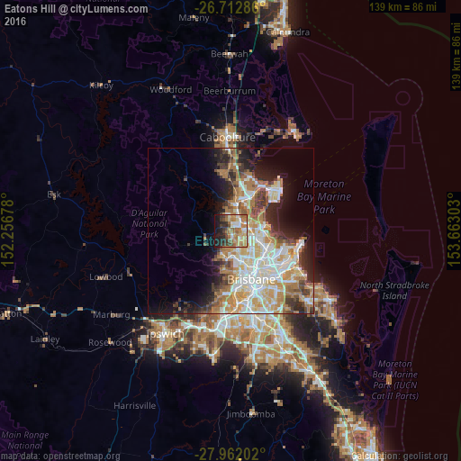
47.34%Clear (daylight) street map image can be seen on geolist.org.
Map coordinates:
26° 42' 46.3" South, 152° 15' 24.4" East
27° 20' 21.1" South, 152° 57' 35.6" East
27° 57' 43.3" South, 153° 39' 46.9" East
Some cities around Eatons Hill sort by population:
• Albany Creek
1.8 km =1.1 mi,  152°
152°
• Warner
3.2 km =2 mi,  341°
341°
• Bray Park
5.3 km =3.3 mi,  8°
8°
• Strathpine
4.9 km =3 mi,  37°
37°
• Bridgeman Downs
3.8 km =2.4 mi,  117°
117°
• McDowall
5.8 km =3.6 mi, 146°
• Bald Hills
5.2 km =3.2 mi,  67°
67°
• Everton Hills
5.7 km =3.5 mi,  168°
168°
9958152 (p: 7,805)
Sources (retrieved 2019-11-25):
» Earth at Night: Flat Maps 2012, 2016