Bridgeman Downs night lights from space
Night Light of Bridgeman Downs (Queensland) from space (Australia) Src. Average luminocity for 10x10km area is 77.6761% and for 50x50km: 34.4177%.
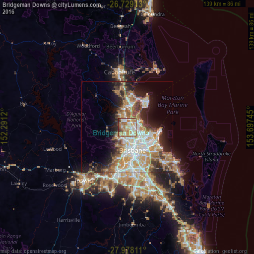
Analysis of Bridgeman Downs night lights 2016
Square area 10x10 km:
 12.69%
90-99
16.86%80-89
19.13%70-79
17.8%60-69
20.64%50-59
4.73%40-49
4.92%30-39
2.46%20-29
0.76%10-19
0%0-9
0%Square area 50x50 km:
6.85%90-99
7.53%80-89
4.44%70-79
4.39%60-69
8.45%50-59
2.69%40-49
3.72%30-39
3.96%20-29
6.07%10-19
8.89%0-9
43.02%Clear (daylight) street map image can be seen on geolist.org.
Map coordinates:
26° 43' 44.9" South, 152° 17' 28.3" East
27° 21' 19.4" South, 152° 59' 39.6" East
27° 58' 41.2" South, 153° 41' 50.8" East
Some cities around Bridgeman Downs sort by population:
• Albany Creek
2.6 km =1.6 mi,  274°
274°
• Aspley
2.5 km =1.6 mi,  119°
119°
• Carseldine
3 km =1.9 mi,  72°
72°
• Eatons Hill
3.8 km =2.4 mi,  297°
297°
• McDowall
3 km =1.9 mi,  184°
184°
• Bald Hills
4.1 km =2.5 mi,  20°
20°
• Chermside West
3.8 km =2.4 mi,  146°
146°
• Fitzgibbon
3.9 km =2.4 mi,  63°
63°
6945028 (p: 8,277)
Sources (retrieved 2019-11-25):
» Earth at Night: Flat Maps 2012, 2016