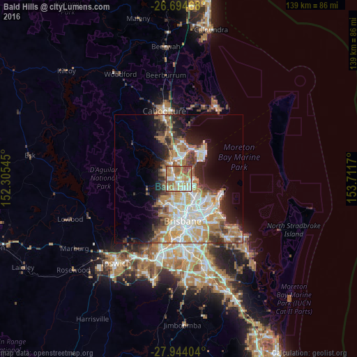
Bald Hills night lights from space
Night Light of Bald Hills (Queensland) from space (Australia) Src. Average luminocity for 10x10km area is 76.1307% and for 50x50km: 31.1774%.
Analysis of Bald Hills night lights 2016
Square area 10x10 km:
 14.58%
90-99
15.34%80-89
13.26%70-79
13.07%60-69
26.14%50-59
11.74%40-49
4.92%30-39
0.95%20-29
0%10-19
0%0-9
0%Square area 50x50 km:
6.03%90-99
6.67%80-89
4%70-79
3.87%60-69
8.08%50-59
2.45%40-49
3.26%30-39
3.61%20-29
5.04%10-19
8.94%0-9
48.04%Clear (daylight) street map image can be seen on geolist.org.
Map coordinates:
26° 41' 40.8" South, 152° 18' 19.6" East
27° 19' 16" South, 153° 0' 30.9" East
27° 56' 38.5" South, 153° 42' 42.1" East
Some cities around Bald Hills sort by population:
• Bracken Ridge
2.3 km =1.4 mi,  78°
78°
• Aspley
5.1 km =3.2 mi,  171°
171°
• Carseldine
3.3 km =2.1 mi,  154°
154°
• Strathpine
2.6 km =1.6 mi,  315°
315°
• Bridgeman Downs
4.1 km =2.5 mi,  200°
200°
• Taigum
4.3 km =2.7 mi,  124°
124°
• Fitzgibbon
2.9 km =1.8 mi,  135°
135°
• Lawnton
4.9 km =3 mi,  329°
329°
8556202 (p: 6,458)
Sources (retrieved 2019-11-25):
» Earth at Night: Flat Maps 2012, 2016