Mudgee night lights from space
Night Light of Mudgee (New South Wales) from space (Australia) Src. Average luminocity for 10x10km area is 10.4143% and for 50x50km: 0.4749%.
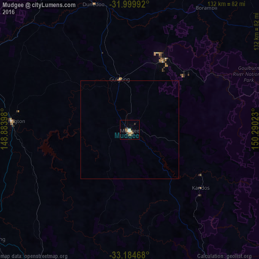
Analysis of Mudgee night lights 2016
Square area 10x10 km:
 1.05%
1.05%90-99
1.05%80-89
0.7%70-79
2.62%60-69
2.8%50-59
0.17%40-49
0.7%30-39
4.2%20-29
0.52%10-19
0.87%0-9
85.31%Square area 50x50 km:
0.04%90-99
0.04%80-89
0.03%70-79
0.12%60-69
0.13%50-59
0.01%40-49
0.03%30-39
0.17%20-29
0.02%10-19
0.05%0-9
99.35%Clear (daylight) street map image can be seen on geolist.org.
Map coordinates:
31° 59' 59.7" South, 148° 53' 2.3" East
32° 35' 39.3" South, 149° 35' 13.6" East
33° 11' 4.8" South, 150° 17' 24.8" East
Some cities around Mudgee sort by population:
• Dubbo
100.1 km =62.2 mi,  292°
292°
• Orange
89.1 km =55.4 mi,  210°
210°
• Bathurst
91.4 km =56.8 mi,  180°
180°
• Muswellbrook
127.8 km =79.4 mi,  73°
73°
• Kelso
91.5 km =56.9 mi, 179°
• Bathurst city centre
91.6 km =56.9 mi, 180°
• Scone
134.8 km =83.8 mi,  63°
63°
• Lithgow
112 km =69.6 mi,  152°
152°
2156404 (p: 11,035)
Sources (retrieved 2019-11-25):
» Earth at Night: Flat Maps 2012, 2016