Craigie night lights from space
Night Light of Craigie (Western Australia) from space (Australia) Src. Average luminocity for 10x10km area is 73.7308% and for 50x50km: 29.8941%.
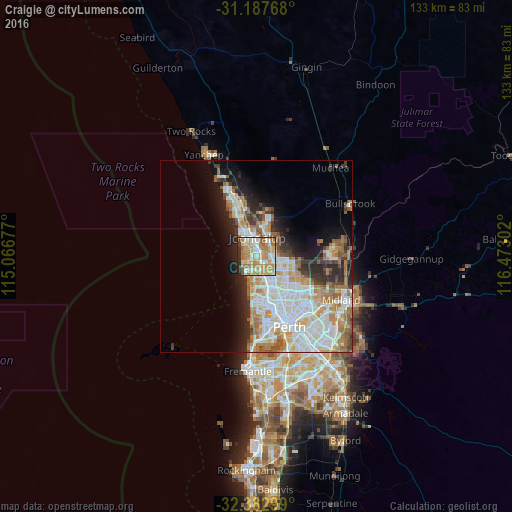
Analysis of Craigie night lights 2016
Square area 10x10 km:
 12.09%
90-99
14.65%80-89
11.9%70-79
23.99%60-69
19.05%50-59
6.96%40-49
1.65%30-39
1.1%20-29
8.42%10-19
0.18%0-9
0%Square area 50x50 km:
7.45%90-99
7.67%80-89
2.91%70-79
3.88%60-69
5.32%50-59
2.98%40-49
1.98%30-39
2.73%20-29
4.94%10-19
7.29%0-9
52.85%Clear (daylight) street map image can be seen on geolist.org.
Map coordinates:
31° 11' 15.6" South, 115° 4' 0.4" East
31° 47' 14.2" South, 115° 46' 11.6" East
32° 22' 58.8" South, 116° 28' 22.9" East
Some cities around Craigie sort by population:
• Kingsley
3.9 km =2.4 mi,  131°
131°
• Hillarys
3.5 km =2.2 mi,  231°
231°
• Woodvale
2.5 km =1.6 mi,  95°
95°
• Padbury
2.1 km =1.3 mi,  182°
182°
• Sorrento
4.5 km =2.8 mi,  201°
201°
• Heathridge
2.9 km =1.8 mi,  339°
339°
• Mullaloo
3.3 km =2.1 mi,  286°
286°
• Kallaroo
1.7 km =1.1 mi,  255°
255°
8348877 (p: 5,713)
Sources (retrieved 2019-11-25):
» Earth at Night: Flat Maps 2012, 2016