Kallaroo night lights from space
Night Light of Kallaroo (Western Australia) from space (Australia) Src. Average luminocity for 10x10km area is 63.304% and for 50x50km: 29.2651%.
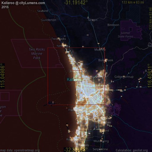
Analysis of Kallaroo night lights 2016
Square area 10x10 km:
 8.97%
8.97%90-99
11.72%80-89
10.26%70-79
19.05%60-69
17.4%50-59
4.95%40-49
1.83%30-39
1.1%20-29
12.64%10-19
11.36%0-9
0.73%Square area 50x50 km:
7.43%90-99
7.66%80-89
2.93%70-79
3.94%60-69
5.07%50-59
2.64%40-49
1.77%30-39
2.48%20-29
4.74%10-19
6.95%0-9
54.4%Clear (daylight) street map image can be seen on geolist.org.
Map coordinates:
31° 11' 29.1" South, 115° 2' 59.5" East
31° 47' 27.5" South, 115° 45' 10.7" East
32° 23' 12" South, 116° 27' 22" East
Some cities around Kallaroo sort by population:
• Hillarys
2.1 km =1.3 mi,  213°
213°
• Woodvale
4.1 km =2.5 mi,  87°
87°
• Padbury
2.3 km =1.4 mi,  139°
139°
• Ocean Reef
3.9 km =2.4 mi,  335°
335°
• Sorrento
3.8 km =2.4 mi,  180°
180°
• Heathridge
3.2 km =2 mi,  10°
10°
• Mullaloo
2 km =1.2 mi,  311°
311°
• Craigie
1.7 km =1.1 mi,  75°
75°
10055413 (p: 5,042)
Sources (retrieved 2019-11-25):
» Earth at Night: Flat Maps 2012, 2016