Woodvale night lights from space
Night Light of Woodvale (Western Australia) from space (Australia) Src. Average luminocity for 10x10km area is 79.0934% and for 50x50km: 31.2856%.
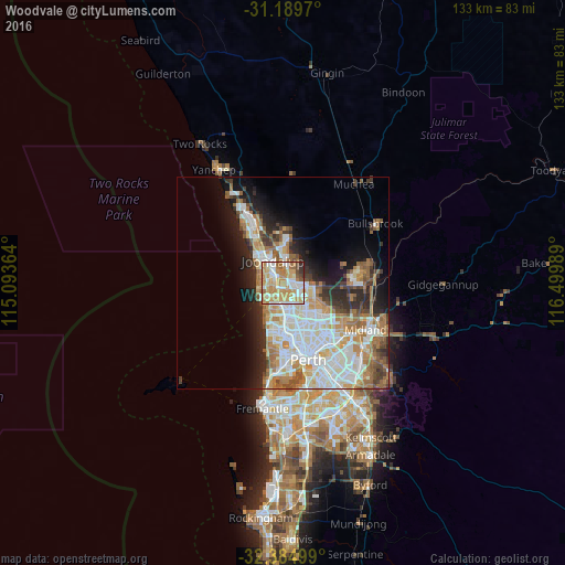
Analysis of Woodvale night lights 2016
Square area 10x10 km:
 17.4%
17.4%90-99
18.5%80-89
10.99%70-79
25.82%60-69
14.65%50-59
5.13%40-49
3.85%30-39
2.2%20-29
1.47%10-19
0%0-9
0%Square area 50x50 km:
7.51%90-99
7.83%80-89
2.94%70-79
4%60-69
5.91%50-59
3.41%40-49
2.33%30-39
3.1%20-29
5.15%10-19
7.8%0-9
50.03%Clear (daylight) street map image can be seen on geolist.org.
Map coordinates:
31° 11' 22.9" South, 115° 5' 37.1" East
31° 47' 21.4" South, 115° 47' 48.3" East
32° 23' 6" South, 116° 29' 59.6" East
Some cities around Woodvale sort by population:
• Kingsley
2.4 km =1.5 mi,  170°
170°
• Wanneroo
4.4 km =2.7 mi,  4°
4°
• Greenwood
4.3 km =2.7 mi, 172°
• Padbury
3.3 km =2.1 mi,  234°
234°
• Madeley
3.8 km =2.4 mi,  129°
129°
• Hocking
2.9 km =1.8 mi,  43°
43°
• Craigie
2.5 km =1.6 mi,  275°
275°
• Kallaroo
4.1 km =2.5 mi,  267°
267°
8347891 (p: 9,116)
Sources (retrieved 2019-11-25):
» Earth at Night: Flat Maps 2012, 2016