Cooloongup night lights from space
Night Light of Cooloongup (Western Australia) from space (Australia) Src. Average luminocity for 10x10km area is 61.7894% and for 50x50km: 17.9596%.
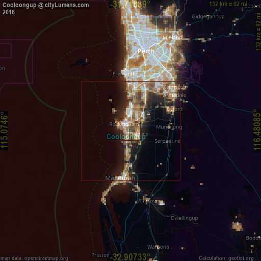
Analysis of Cooloongup night lights 2016
Square area 10x10 km:
 8.24%
8.24%90-99
9.16%80-89
7.33%70-79
5.31%60-69
22.34%50-59
16.85%40-49
13.37%30-39
10.26%20-29
5.13%10-19
2.01%0-9
0%Square area 50x50 km:
2.19%90-99
2.21%80-89
1.34%70-79
1.79%60-69
5.57%50-59
4.28%40-49
2.86%30-39
2.84%20-29
4.4%10-19
9.29%0-9
63.23%Clear (daylight) street map image can be seen on geolist.org.
Map coordinates:
31° 43' 8" South, 115° 4' 28.6" East
32° 18' 54.2" South, 115° 46' 39.8" East
32° 54' 26.4" South, 116° 28' 51.1" East
Some cities around Cooloongup sort by population:
• Rockingham
6.2 km =3.9 mi,  313°
313°
• Baldivis
5.2 km =3.2 mi,  107°
107°
• Rockingham city centre
5.3 km =3.3 mi, 310°
• Port Kennedy
6.9 km =4.3 mi,  200°
200°
• Waikiki
2.2 km =1.4 mi,  267°
267°
• Warnbro
4 km =2.5 mi,  225°
225°
• Wellard
7.5 km =4.7 mi,  44°
44°
• Safety Bay
3.5 km =2.2 mi,  289°
289°
8349046 (p: 6,670)
Sources (retrieved 2019-11-25):
» Earth at Night: Flat Maps 2012, 2016