Caulfield South night lights from space
Night Light of Caulfield South (Victoria) from space (Australia) Src. Average luminocity for 10x10km area is 86.1429% and for 50x50km: 54.4626%.
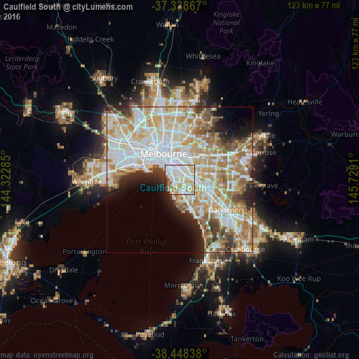
Analysis of Caulfield South night lights 2016
Square area 10x10 km:
 32.47%
90-99
27.76%80-89
12.82%70-79
13.8%60-69
2.92%50-59
2.92%40-49
0.65%30-39
2.44%20-29
3.57%10-19
0.65%0-9
0%Square area 50x50 km:
15.29%90-99
13.79%80-89
7.19%70-79
9.35%60-69
7.96%50-59
5.33%40-49
3.57%30-39
3.13%20-29
4.23%10-19
5.07%0-9
25.08%Clear (daylight) street map image can be seen on geolist.org.
Map coordinates:
37° 20' 19.2" South, 144° 19' 22.3" East
37° 53' 44.2" South, 145° 1' 33.5" East
38° 26' 54.2" South, 145° 43' 44.8" East
Some cities around Caulfield South sort by population:
• Brighton
2.3 km =1.4 mi,  241°
241°
• Malvern East
2.8 km =1.7 mi,  31°
31°
• Carnegie
2.6 km =1.6 mi,  84°
84°
• Bentleigh
2.6 km =1.6 mi,  161°
161°
• Brighton East
1.1 km =0.7 mi,  225°
225°
• Elsternwick
2.3 km =1.4 mi,  296°
296°
• Ormond
0.8 km =0.5 mi,  127°
127°
• McKinnon
3.1 km =1.9 mi,  137°
137°
7932643 (p: 11,630)
Sources (retrieved 2019-11-25):
» Earth at Night: Flat Maps 2012, 2016