Malvern East night lights from space
Night Light of Malvern East (Victoria) from space (Australia) Src. Average luminocity for 10x10km area is 93.138% and for 50x50km: 55.0035%.
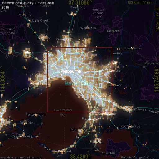
Analysis of Malvern East night lights 2016
Square area 10x10 km:
 40.91%
90-99
31.33%80-89
14.61%70-79
10.88%60-69
0.49%50-59
1.79%40-49
0%30-39
0%20-29
0%10-19
0%0-9
0%Square area 50x50 km:
15.11%90-99
13.77%80-89
6.96%70-79
9.4%60-69
8.33%50-59
5.79%40-49
3.77%30-39
3.45%20-29
4.68%10-19
5.83%0-9
22.92%Clear (daylight) street map image can be seen on geolist.org.
Map coordinates:
37° 19' 0.7" South, 144° 20' 21.9" East
37° 52' 26.3" South, 145° 2' 33.1" East
38° 25' 36.8" South, 145° 44' 44.4" East
Some cities around Malvern East sort by population:
• Glen Iris
2.3 km =1.4 mi,  69°
69°
• Carnegie
2.5 km =1.6 mi,  152°
152°
• Caulfield North
1.6 km =1 mi,  270°
270°
• Caulfield South
2.8 km =1.7 mi,  211°
211°
• Murrumbeena
3.6 km =2.2 mi,  143°
143°
• Armadale
2.8 km =1.7 mi,  316°
316°
• Ormond
3 km =1.9 mi,  195°
195°
• Caulfield
2 km =1.2 mi,  241°
241°
7932638 (p: 21,282)
Sources (retrieved 2019-11-25):
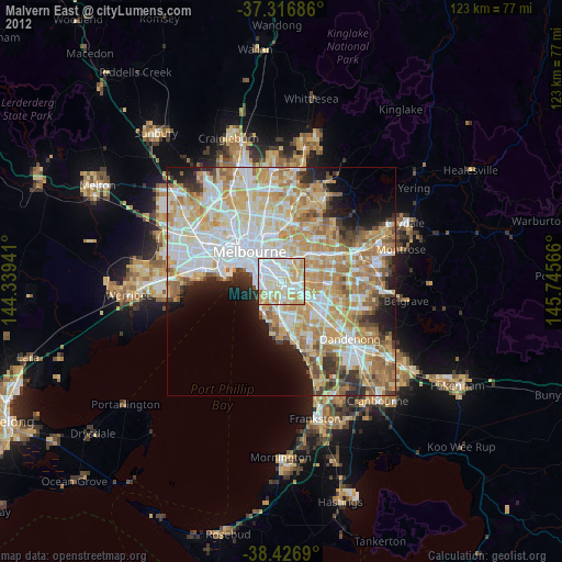
» Earth at Night: Flat Maps 2012, 2016