Brighton East night lights from space
Night Light of Brighton East (Victoria) from space (Australia) Src. Average luminocity for 10x10km area is 79.6802% and for 50x50km: 53.8775%.
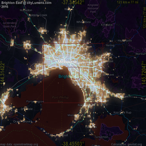
Analysis of Brighton East night lights 2016
Square area 10x10 km:
 27.27%
90-99
25.81%80-89
11.69%70-79
11.69%60-69
3.08%50-59
4.55%40-49
1.3%30-39
4.55%20-29
6.66%10-19
3.41%0-9
0%Square area 50x50 km:
15.28%90-99
13.75%80-89
7.08%70-79
9.18%60-69
7.75%50-59
5.28%40-49
3.49%30-39
3.03%20-29
3.98%10-19
5%0-9
26.19%Clear (daylight) street map image can be seen on geolist.org.
Map coordinates:
37° 20' 43.5" South, 144° 18' 51.2" East
37° 54' 8.4" South, 145° 1' 2.4" East
38° 27' 18.1" South, 145° 43' 13.7" East
Some cities around Brighton East sort by population:
• Carnegie
3.5 km =2.2 mi,  73°
73°
• Bentleigh
2.4 km =1.5 mi,  137°
137°
• Caulfield North
3.2 km =2 mi,  11°
11°
• Caulfield South
1.1 km =0.7 mi,  45°
45°
• Elsternwick
2.2 km =1.4 mi,  323°
323°
• Ormond
1.4 km =0.9 mi,  79°
79°
• Caulfield
2.3 km =1.4 mi, 12°
• McKinnon
3.3 km =2.1 mi,  119°
119°
7932646 (p: 15,644)
Sources (retrieved 2019-11-25):
» Earth at Night: Flat Maps 2012, 2016