Brighton night lights from space
Night Light of Brighton (Victoria) from space (Australia) Src. Average luminocity for 10x10km area is 70.7484% and for 50x50km: 53.1925%.
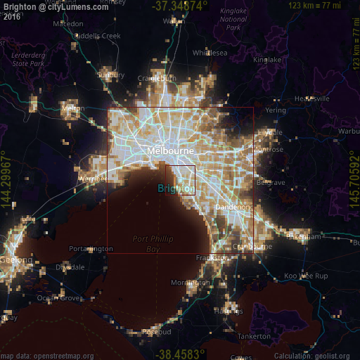
Analysis of Brighton night lights 2016
Square area 10x10 km:
 22.56%
90-99
22.08%80-89
8.6%70-79
10.55%60-69
3.73%50-59
4.55%40-49
1.95%30-39
6.66%20-29
9.58%10-19
7.95%0-9
1.79%Square area 50x50 km:
15.22%90-99
13.63%80-89
6.92%70-79
8.96%60-69
7.5%50-59
5.23%40-49
3.59%30-39
3.02%20-29
3.74%10-19
5.01%0-9
27.19%Clear (daylight) street map image can be seen on geolist.org.
Map coordinates:
37° 20' 55.5" South, 144° 17' 58.8" East
37° 54' 20.2" South, 145° 0' 10" East
38° 27' 29.9" South, 145° 42' 21.3" East
Some cities around Brighton sort by population:
• Bentleigh
3.2 km =2 mi,  115°
115°
• Elwood
3.2 km =2 mi,  325°
325°
• Caulfield North
4 km =2.5 mi,  28°
28°
• Caulfield South
2.3 km =1.4 mi,  61°
61°
• Elsternwick
2.1 km =1.3 mi,  359°
359°
• Ormond
2.8 km =1.7 mi,  76°
76°
• Caulfield
3.1 km =1.9 mi, 34°
• McKinnon
4.3 km =2.7 mi,  106°
106°
2174039 (p: 22,742)
Sources (retrieved 2019-11-25):
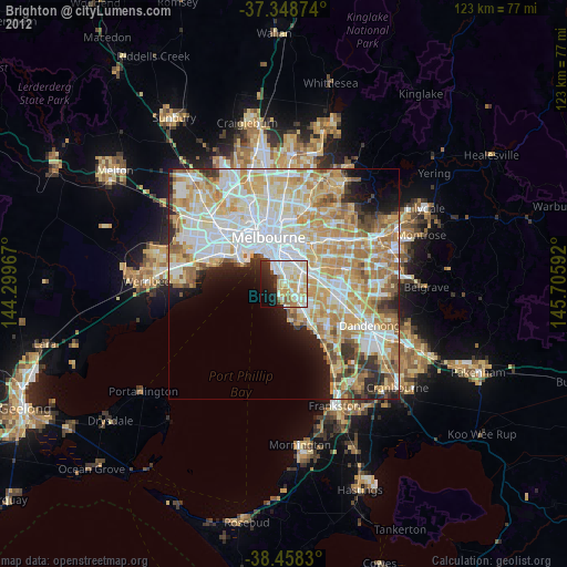
» Earth at Night: Flat Maps 2012, 2016