Castle Hill night lights from space
Night Light of Castle Hill (New South Wales) from space (Australia) Src. Average luminocity for 10x10km area is 72.6667% and for 50x50km: 48.2722%.
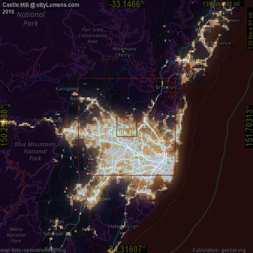
Analysis of Castle Hill night lights 2016
Square area 10x10 km:
 8.97%
8.97%90-99
10.81%80-89
8.42%70-79
30.77%60-69
24.73%50-59
6.41%40-49
5.31%30-39
2.75%20-29
1.83%10-19
0%0-9
0%Square area 50x50 km:
11.93%90-99
12.99%80-89
6.82%70-79
8.13%60-69
7.76%50-59
3.23%40-49
2.83%30-39
3.73%20-29
5%10-19
6.94%0-9
30.66%Clear (daylight) street map image can be seen on geolist.org.
Map coordinates:
33° 8' 47.8" South, 150° 17' 48.8" East
33° 43' 60" South, 151° 0' 0" East
34° 18' 57.9" South, 151° 42' 11.3" East
Some cities around Castle Hill sort by population:
• Baulkham Hills
2.9 km =1.8 mi,  193°
193°
• Kellyville
5.2 km =3.2 mi,  299°
299°
• Cherrybrook
4.4 km =2.7 mi,  73°
73°
• West Pennant Hills
4.6 km =2.9 mi,  107°
107°
• Winston Hills
5.1 km =3.2 mi,  200°
200°
• Bella Vista
4.3 km =2.7 mi,  258°
258°
• North Rocks
4.6 km =2.9 mi,  159°
159°
• Glenhaven
3.7 km =2.3 mi,  0°
0°
2172111 (p: 39,284)
Sources (retrieved 2019-11-25):
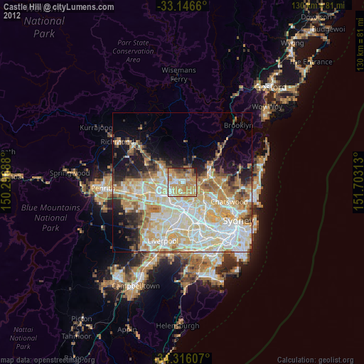
» Earth at Night: Flat Maps 2012, 2016