Baulkham Hills night lights from space
Night Light of Baulkham Hills (New South Wales) from space (Australia) Src. Average luminocity for 10x10km area is 82.163% and for 50x50km: 51.6083%.
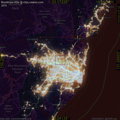
Analysis of Baulkham Hills night lights 2016
Square area 10x10 km:
 15.57%
90-99
21.43%80-89
11.9%70-79
33.15%60-69
15.2%50-59
2.75%40-49
0%30-39
0%20-29
0%10-19
0%0-9
0%Square area 50x50 km:
12.6%90-99
13.8%80-89
6.99%70-79
8.61%60-69
8.56%50-59
4.03%40-49
3.26%30-39
3.98%20-29
5.28%10-19
7.35%0-9
25.54%Clear (daylight) street map image can be seen on geolist.org.
Map coordinates:
33° 10' 20.1" South, 150° 17' 23.3" East
33° 45' 31.7" South, 150° 59' 34.5" East
34° 20' 29" South, 151° 41' 45.8" East
Some cities around Baulkham Hills sort by population:
• Castle Hill
2.9 km =1.8 mi,  13°
13°
• Westmead
5 km =3.1 mi,  185°
185°
• Toongabbie
4.8 km =3 mi,  235°
235°
• North Parramatta
3.9 km =2.4 mi,  168°
168°
• Winston Hills
2.3 km =1.4 mi,  210°
210°
• Northmead
2.8 km =1.7 mi, 169°
• Bella Vista
4 km =2.5 mi,  298°
298°
• North Rocks
2.7 km =1.7 mi,  123°
123°
2176592 (p: 36,792)
Sources (retrieved 2019-11-25):
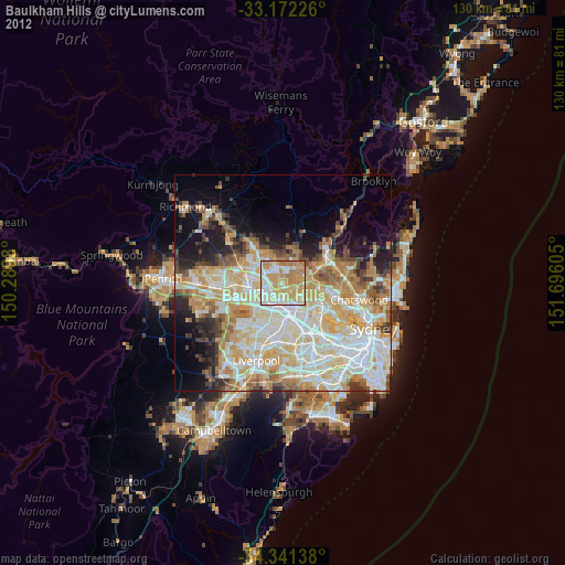
» Earth at Night: Flat Maps 2012, 2016