Kellyville night lights from space
Night Light of Kellyville (New South Wales) from space (Australia) Src. Average luminocity for 10x10km area is 71.956% and for 50x50km: 43.2447%.
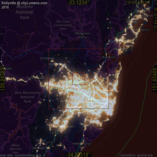
Analysis of Kellyville night lights 2016
Square area 10x10 km:
 12.82%
90-99
16.67%80-89
11.72%70-79
19.23%60-69
14.65%50-59
6.96%40-49
5.86%30-39
2.2%20-29
8.24%10-19
1.65%0-9
0%Square area 50x50 km:
10.52%90-99
11.26%80-89
6.27%70-79
7.55%60-69
6.84%50-59
2.84%40-49
2.51%30-39
3.42%20-29
4.83%10-19
6.83%0-9
37.12%Clear (daylight) street map image can be seen on geolist.org.
Map coordinates:
33° 7' 24.2" South, 150° 14' 52.2" East
33° 42' 37" South, 150° 57' 3.4" East
34° 17' 35.4" South, 151° 39' 14.7" East
Some cities around Kellyville sort by population:
• Glenwood
3.1 km =1.9 mi,  213°
213°
• The Ponds
3.8 km =2.4 mi,  283°
283°
• Kings Langley
4.6 km =2.9 mi,  197°
197°
• Stanhope Gardens
2.7 km =1.7 mi,  240°
240°
• Beaumont Hills
1.5 km =0.9 mi,  321°
321°
• Bella Vista
3.5 km =2.2 mi,  174°
174°
• Rouse Hill
4.5 km =2.8 mi,  313°
313°
• Glenhaven
4.7 km =2.9 mi,  75°
75°
8347736 (p: 27,676)
Sources (retrieved 2019-11-25):
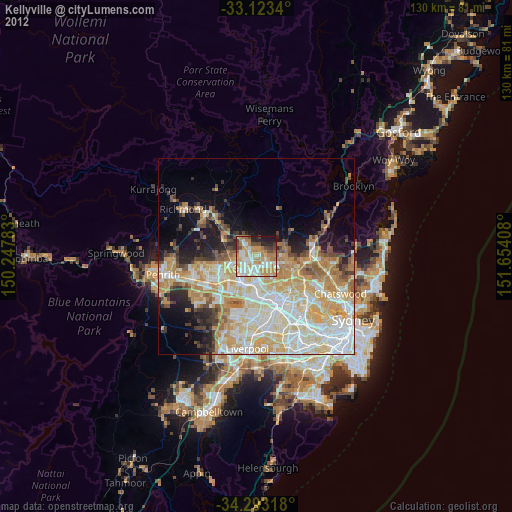
» Earth at Night: Flat Maps 2012, 2016