Allambie Heights night lights from space
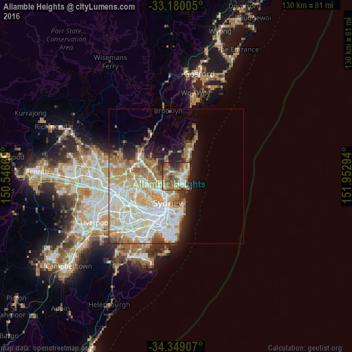
Night Light of Allambie Heights (New South Wales) from space (Australia) Src. Average luminocity for 10x10km area is 65.4634% and for 50x50km: 32.8827%.
Analysis of Allambie Heights night lights 2016
Square area 10x10 km:
 8.06%
8.06%90-99
12.45%80-89
7.14%70-79
5.86%60-69
28.39%50-59
14.84%40-49
10.62%30-39
6.41%20-29
6.23%10-19
0%0-9
0%Square area 50x50 km:
8.08%90-99
8.51%80-89
4.14%70-79
5.31%60-69
6.26%50-59
2.56%40-49
1.79%30-39
2.41%20-29
3.17%10-19
5.66%0-9
52.12%Clear (daylight) street map image can be seen on geolist.org.
Map coordinates:
33° 10' 48.2" South, 150° 32' 48.1" East
33° 45' 59.6" South, 151° 14' 59.3" East
34° 20' 56.7" South, 151° 57' 10.6" East
Some cities around Allambie Heights sort by population:
• Frenchs Forest
3.2 km =2 mi,  309°
309°
• Freshwater
3.6 km =2.2 mi,  112°
112°
• Forestville
3.8 km =2.4 mi,  269°
269°
• Balgowlah
3.2 km =2 mi,  167°
167°
• Beacon Hill
1.7 km =1.1 mi,  27°
27°
• Narraweena
2.8 km =1.7 mi,  62°
62°
• Manly Vale
2.3 km =1.4 mi,  150°
150°
• Fairlight
3.9 km =2.4 mi, 146°
9972597 (p: 6,844)
Sources (retrieved 2019-11-25):
» Earth at Night: Flat Maps 2012, 2016