Fairlight night lights from space
Night Light of Fairlight (New South Wales) from space (Australia) Src. Average luminocity for 10x10km area is 53.3759% and for 50x50km: 31.7781%.
Analysis of Fairlight night lights 2016
Square area 10x10 km:
 8.74%
8.74%90-99
9.27%80-89
3.15%70-79
6.12%60-69
20.8%50-59
7.52%40-49
7.69%30-39
7.34%20-29
9.97%10-19
16.61%0-9
2.8%Square area 50x50 km:
7.46%90-99
7.93%80-89
3.81%70-79
5.01%60-69
6.57%50-59
2.93%40-49
1.7%30-39
2.78%20-29
3.46%10-19
5.84%0-9
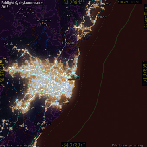
52.48%Clear (daylight) street map image can be seen on geolist.org.
Map coordinates:
33° 12' 34" South, 150° 34' 13.2" East
33° 47' 44.7" South, 151° 16' 24.5" East
34° 22' 41.1" South, 151° 58' 35.7" East
Some cities around Fairlight sort by population:
• Manly
1.4 km =0.9 mi,  100°
100°
• Freshwater
2.2 km =1.4 mi,  30°
30°
• Balgowlah
1.5 km =0.9 mi,  273°
273°
• Beacon Hill
5 km =3.1 mi,  343°
343°
• Seaforth
3.2 km =2 mi,  258°
258°
• Allambie Heights
3.9 km =2.4 mi,  326°
326°
• Narraweena
4.5 km =2.8 mi,  3°
3°
• Manly Vale
1.6 km =1 mi,  319°
319°
9972673 (p: 5,695)
Sources (retrieved 2019-11-25):
» Earth at Night: Flat Maps 2012, 2016