Adelaide night lights from space
Night Light of Adelaide (South Australia) from space (Australia) Src. Average luminocity for 10x10km area is 93.185% and for 50x50km: 27.0298%.
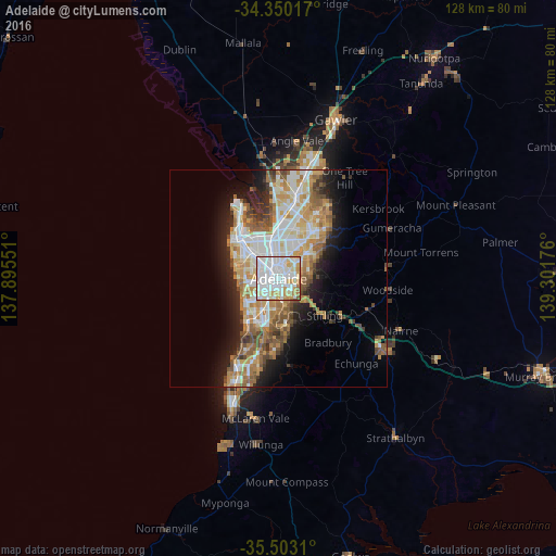
Analysis of Adelaide night lights 2016
Square area 10x10 km:
 42.67%
90-99
31.32%80-89
9.71%70-79
11.9%60-69
3.11%50-59
1.28%40-49
0%30-39
0%20-29
0%10-19
0%0-9
0%Square area 50x50 km:
5.79%90-99
6.03%80-89
2.72%70-79
4.92%60-69
4.26%50-59
3.73%40-49
2.66%30-39
1.99%20-29
4.36%10-19
8.01%0-9
55.53%Clear (daylight) street map image can be seen on geolist.org.
Map coordinates:
34° 21' 0.6" South, 137° 53' 43.8" East
34° 55' 43.2" South, 138° 35' 55.1" East
35° 30' 11.2" South, 139° 18' 6.3" East
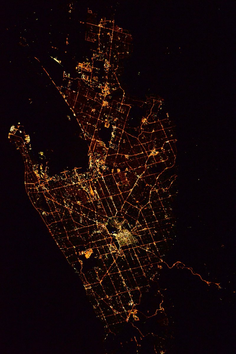
Fantastic image of Adelaide from space taken by astronauts [src2], but I don't have information about it's orientation, scale or angle. If necessary, it was rotated manually, so North points approximately to upper direction. Click to zoom in:
Some cities around Adelaide sort by population:
• Prospect
5.2 km =3.2 mi,  354°
354°
• Magill
7.3 km =4.5 mi,  72°
72°
• North Adelaide
2.5 km =1.6 mi,  344°
344°
• Findon
6.8 km =4.2 mi,  298°
298°
• Klemzig
6.4 km =4 mi,  31°
31°
• Norwood
2.7 km =1.7 mi,  86°
86°
• Lockleys
6.4 km =4 mi,  272°
272°
• Kilburn
7.8 km =4.8 mi, 351°
2078025 (p: 1,225,235)
Sources (retrieved 2019-11-25):
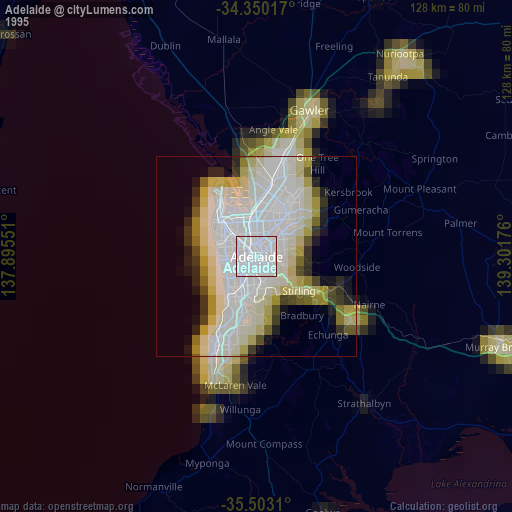
» NASA, Earths city lights 1995
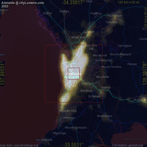
» NASA city lights 2003
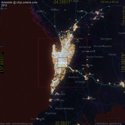
» Earth at Night: Flat Maps 2012, 2016
Src.2: Tim Kopra, Twitter/@astro_tim, 2016-04-17