Schellenberg night lights from space
Night Light of Schellenberg from space (Liechtenstein) Src. Average luminocity for 10x10km area is 18.9167% and for 50x50km: 7.7674%.
Analysis of Schellenberg night lights 2016
Square area 10x10 km:
 0.6%
0.6%90-99
1.49%80-89
0.74%70-79
3.72%60-69
3.42%50-59
5.36%40-49
4.32%30-39
2.98%20-29
1.04%10-19
19.2%0-9
57.14%Square area 50x50 km:
0.4%90-99
0.93%80-89
0.64%70-79
1.03%60-69
1.37%50-59
1.19%40-49
1.44%30-39
1.23%20-29
1.86%10-19
7.51%0-9
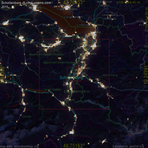
82.41%Clear (daylight) street map image can be seen on geolist.org.
Map coordinates:
47° 42' 23.5" North, 8° 50' 37.2" East
47° 13' 52.4" North, 9° 32' 48.4" East
46° 45' 5.9" North, 10° 14' 59.7" East
Some cities around Schellenberg sort by population:
• Feldkirch, AT
4 km =2.5 mi,  87°
87°
• Frastanz, AT
6.5 km =4 mi,  103°
103°
• Schaan
7.9 km =4.9 mi,  201°
201°
• Eschen
2.9 km =1.8 mi,  219°
219°
• Mauren
1.5 km =0.9 mi,  187°
187°
• Ruggell
1.8 km =1.1 mi,  294°
294°
• Gamprin
3.1 km =1.9 mi,  246°
246°
• Planken
5.1 km =3.2 mi,  182°
182°
3042037 (p: 1,004)
Sources (retrieved 2019-11-25):
» Earth at Night: Flat Maps 2012, 2016