Frastanz night lights from space
Night Light of Frastanz (Vorarlberg) from space (Austria) Src. Average luminocity for 10x10km area is 13.9836% and for 50x50km: 6.827%.
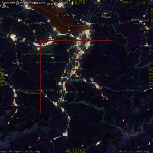
Analysis of Frastanz night lights 2016
Square area 10x10 km:
 0.6%
0.6%90-99
0.6%80-89
0.15%70-79
4.32%60-69
2.53%50-59
2.23%40-49
1.93%30-39
2.83%20-29
1.79%10-19
15.77%0-9
67.26%Square area 50x50 km:
0.35%90-99
0.79%80-89
0.48%70-79
1%60-69
1.17%50-59
1.05%40-49
1.38%30-39
1.16%20-29
1.54%10-19
6.33%0-9
84.75%Clear (daylight) street map image can be seen on geolist.org.
Map coordinates:
47° 41' 34" North, 8° 55' 36.6" East
47° 13' 2.5" North, 9° 37' 47.8" East
46° 44' 15.4" North, 10° 19' 59.1" East
Some cities around Frastanz sort by population:
• Feldkirch
2.9 km =1.8 mi,  307°
307°
• Rankweil
6.1 km =3.8 mi,  9°
9°
• Eschen, LI
8.2 km =5.1 mi,  264°
264°
• Mauren, LI
6.5 km =4 mi,  270°
270°
• Ruggell, LI
8.2 km =5.1 mi,  286°
286°
• Gamprin, LI
9.1 km =5.7 mi, 272°
• Schellenberg, LI
6.5 km =4 mi,  283°
283°
• Planken, LI
7.4 km =4.6 mi,  241°
241°
8411059 (p: 6,434)
Sources (retrieved 2019-11-25):
» Earth at Night: Flat Maps 2012, 2016