Villa Ojo de Agua night lights from space
Night Light of Villa Ojo de Agua (Santiago del Estero) from space (Argentina) Src. Average luminocity for 10x10km area is 6.9394% and for 50x50km: 0.6133%.
Analysis of Villa Ojo de Agua night lights 2016
Square area 10x10 km:
 0.19%
0.19%90-99
0.57%80-89
3.98%70-79
0.76%60-69
0.57%50-59
0%40-49
1.14%30-39
0.38%20-29
0%10-19
0%0-9
92.42%Square area 50x50 km:
0.04%90-99
0.04%80-89
0.27%70-79
0.07%60-69
0.08%50-59
0.04%40-49
0.04%30-39
0.1%20-29
0.03%10-19
0%0-9
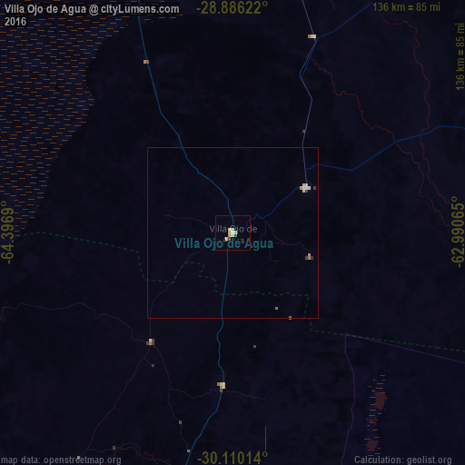
99.27%Clear (daylight) street map image can be seen on geolist.org.
Map coordinates:
28° 53' 10.4" South, 64° 23' 48.8" West
29° 30' 0.1" South, 63° 41' 37.6" West
30° 6' 36.5" South, 62° 59' 26.3" West
Some cities around Villa Ojo de Agua sort by population:
• Cruz del Eje
173.2 km =107.6 mi,  218°
218°
• Jesús María
169.2 km =105.1 mi,  193°
193°
• Añatuya
142.6 km =88.6 mi,  35°
35°
• Deán Funes
120.3 km =74.8 mi,  211°
211°
• Recreo
134.7 km =83.7 mi,  280°
280°
• Ceres
174.1 km =108.2 mi,  104°
104°
• Capilla del Monte
171.1 km =106.3 mi, 207°
• Icaño
171.3 km =106.4 mi,  292°
292°
3832658 (p: 5,832)
Sources (retrieved 2019-11-25):
» Earth at Night: Flat Maps 2012, 2016