Ceres night lights from space
Night Light of Ceres (Santa Fe) from space (Argentina) Src. Average luminocity for 10x10km area is 15.6548% and for 50x50km: 1.0342%.
Analysis of Ceres night lights 2016
Square area 10x10 km:
 1.79%
1.79%90-99
2.18%80-89
3.57%70-79
1.98%60-69
2.18%50-59
1.59%40-49
1.19%30-39
1.39%20-29
0.99%10-19
1.98%0-9
81.15%Square area 50x50 km:
0.11%90-99
0.16%80-89
0.19%70-79
0.12%60-69
0.16%50-59
0.11%40-49
0.13%30-39
0.1%20-29
0.16%10-19
0.1%0-9
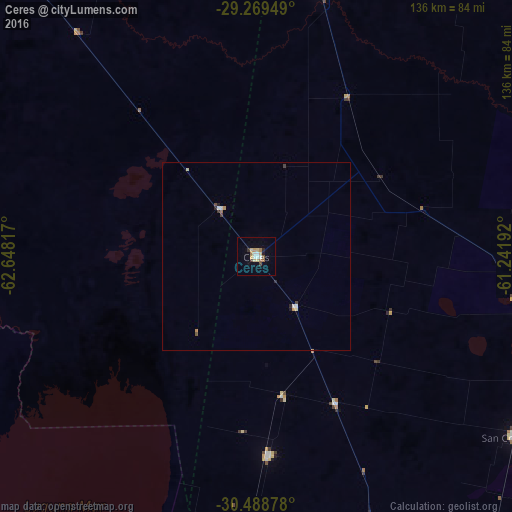
98.66%Clear (daylight) street map image can be seen on geolist.org.
Map coordinates:
29° 16' 10.2" South, 62° 38' 53.4" West
29° 52' 51.6" South, 61° 56' 42.1" West
30° 29' 19.6" South, 61° 14' 30.9" West
Some cities around Ceres sort by population:
• Rafaela
158.5 km =98.5 mi,  163°
163°
• Sunchales
123.8 km =76.9 mi, 162°
• Morteros
92.5 km =57.5 mi,  183°
183°
• San Cristóbal
83.2 km =51.7 mi,  125°
125°
• Tostado
74.1 km =46 mi,  13°
13°
• Calchaquí
159.8 km =99.3 mi,  90°
90°
• Brinkmann
109.9 km =68.3 mi, 184°
• Balnearia
143.2 km =89 mi,  208°
208°
3862100 (p: 13,063)
Sources (retrieved 2019-11-25):
» Earth at Night: Flat Maps 2012, 2016