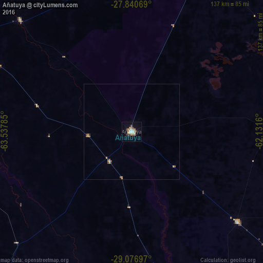
Añatuya night lights from space
Night Light of Añatuya (Santiago del Estero) from space (Argentina) Src. Average luminocity for 10x10km area is 20.2778% and for 50x50km: 1.2362%.

Analysis of Añatuya night lights 2016
Square area 10x10 km:
 2.38%
2.38%90-99
3.17%80-89
3.17%70-79
4.56%60-69
2.58%50-59
0.2%40-49
2.38%30-39
2.98%20-29
0%10-19
8.73%0-9
69.84%Square area 50x50 km:
0.09%90-99
0.15%80-89
0.19%70-79
0.3%60-69
0.23%50-59
0.11%40-49
0.11%30-39
0.19%20-29
0.05%10-19
0.33%0-9
98.26%Clear (daylight) street map image can be seen on geolist.org.
Map coordinates:
27° 50' 26.5" South, 63° 32' 16.3" West
28° 27' 38.3" South, 62° 50' 5" West
29° 4' 37.1" South, 62° 7' 53.8" West
Some cities around Añatuya sort by population:
• Santiago del Estero
158.3 km =98.4 mi,  297°
297°
• Tostado
134.6 km =83.6 mi,  129°
129°
• Quimilí
99.4 km =61.8 mi,  24°
24°
• Clodomira
160.9 km =100 mi,  307°
307°
• Hermoso Campo
174.3 km =108.3 mi,  57°
57°
• Suncho Corral
82.6 km =51.3 mi,  315°
315°
• Villa Ojo de Agua
142.6 km =88.6 mi,  215°
215°
• Beltrán
139.2 km =86.5 mi, 300°
3865840 (p: 20,261)
Sources (retrieved 2019-11-25):
» Earth at Night: Flat Maps 2012, 2016